10 Essential Tips for Your Smolyan Lakes Visitor Guide
The Smolyan Lakes are a chain of small glacial-era mountain lakes strung along the Cherna (Black) River valley in the central Rhodope Mountains, just above Smolyan town and a short drive from Pamporovo. This 2026 smolyan lakes visitor guide covers the eco-path, driving times, and the practical details for a single day trip. Visitbulgaria.com has more on the region's protected biodiversity, but this guide sticks to what you need: getting there, which lakes to see, and how much time to set aside.
For a visual preview of the trail landscape and emerald waters, watch this guided walk-through:
Trail guides differ slightly on how many lakes remain - some count seven, some eight - because one, Iztochnoto, is seasonal and only fills after snowmelt or heavy rain. Either way, around a dozen of the original twenty have dried into marshland over the centuries. What is left still delivers the emerald-water views and quiet forest air the area is known for, with no entrance fee and no booking required.
Overview of the Smolyan Lakes: A Rhodope Mountain Gem
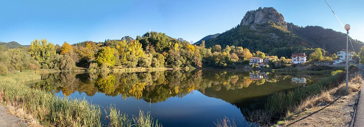
Locals call them the "emerald eyes" of the Rhodopes for their deep green color, which shifts with the light and season. They sit between roughly 1,100m and 1,600m, so scenery changes as you move through the valley: dense spruce forest closes in around the upper lakes, while the lower ones open onto grassy meadow.
Geologists believe the lakes formed during the last glacial period through a mix of moraine damming and landslide activity. Local legend ties the valley to Orpheus, the Thracian musician said to have wandered these mountains, and several rocks and trees along the trail still carry his name. The lake margins are a genuine wildlife habitat, home to rare alpine plants and mountain birds visible if you walk quietly at dawn.
Worth separating these from Bulgaria's other famous glacial cluster, the Seven Rila Lakes: Rila's lakes sit above 2,100m, usually require a chairlift from Panichishte plus a multi-hour hike, and get crowded on summer weekends. The Smolyan Lakes are lower, easier, free of any lift fee, and rarely crowded - a better fit for half a day rather than a full one, or for families with young children or older relatives.
How to Reach the Lakes from Smolyan and Pamporovo
Reaching the lakes is straightforward whether you are based in the nearby town or a mountain resort. From Smolyan town, the drive takes about 15 to 20 minutes. From Pamporovo resort, follow the road toward Smolyan for about 10km, then take the turn signed for Devin; the trip takes roughly 15 minutes and the route is well marked, so getting lost isn't a real risk. Sofia sits about 230km away, which matters if this is a stop on a longer Bulgaria itinerary rather than a base trip.
Public transport does not reach the trailhead directly, so renting a car or booking a private transfer is the practical option. Roads are well maintained but narrow and winding in the higher sections, so allow extra time after rain or early snow. Free parking sits near the start of the main eco-path and fills up on summer weekends by mid-morning. Check the forecast before you set out, especially in the shoulder seasons when mountain weather changes fast.
The Three Smolyan Lakes Eco-Path Hiking Guide
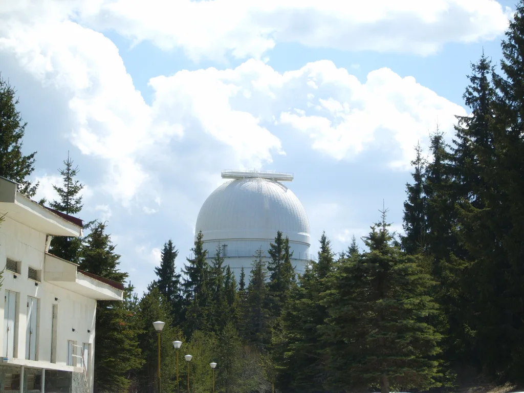
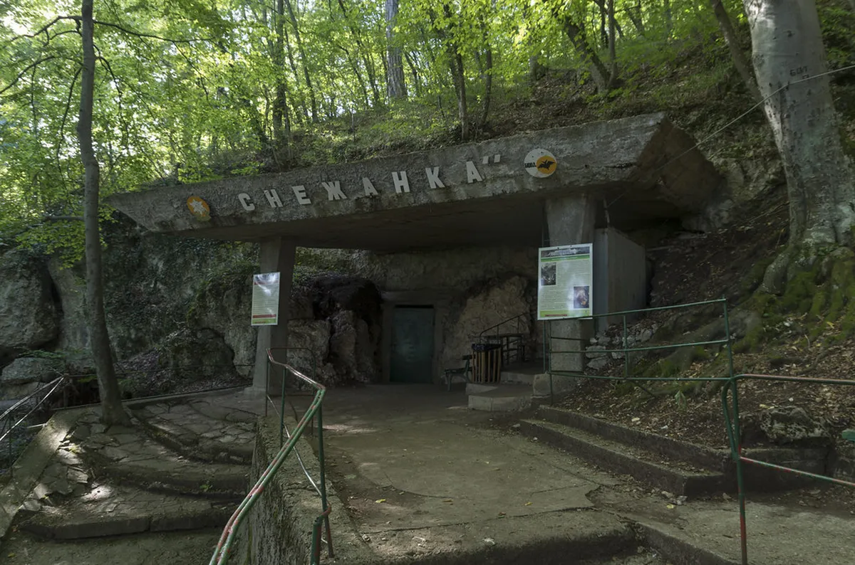
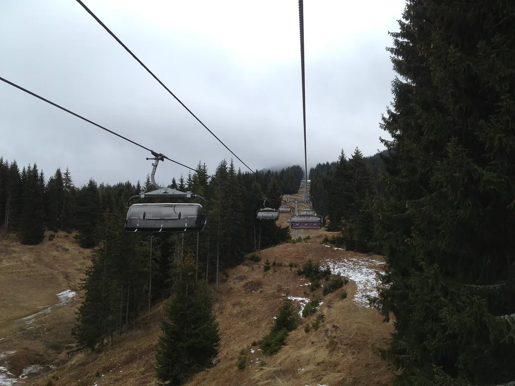
The "Three Smolyan Lakes" eco-path is the best-known route, linking Trevistoto, Bistroto (Milushevskoto), and Matnoto on a well-marked trail that takes about two to three hours at a relaxed pace. Trevistoto, the highest of the three at 1,540m, is also the most significant natural lake in the group; a small chapel dedicated to the Holy Spirit stands beside it, and a ski lift nearby climbs toward Snezhanka Peak at 1,926m. Consider adding the Snezhanka TV Tower (Pamporovo Tower) Visitor Guide for a panoramic view over the whole cluster.
Bistroto, fed by a short river from Trevistoto, is the largest of the eight lakes and ringed by spruce forest; the open ground between the two is sometimes used for summer paintball. The trail's highlight is the Orpheus' Rock viewpoint, a high outcrop overlooking Smolyan town, reached shortly before you drop to Matnoto, the deepest and darkest lake thanks to thick tree cover. Along the final stretch, look for old trees known locally as "Eurydice's Throne" and a single gnarled one called "Orpheus' Lyre."
The path suits most fitness levels, though a few sections climb steeply and turn slippery after rain, so sturdy shoes matter more than speed.
Exploring All the Smolyan Lakes: A Lake-by-Lake Guide
Beyond the main eco-path, five more lakes are strung along the valley at lower altitude, each with its own micro-environment and, mostly, its own quiet crowd of anglers, campers, and photographers rather than day-trip tour groups.
- Keryanov Gyol, also called Platenoto Lake, sits closest to Smolyan at 1,114m, the lowest point in the cluster; a small dam here makes it a popular fishing spot with a camping area alongside.
- Saladzha Lake, at 1,323m, is known for the small island sitting in the middle of the water, a favorite subject for photographers.
- Osmanoviya Gyol is ringed by smaller ponds that dry out completely by midsummer, so it looks quite different depending on when you visit.
- Iztochnoto Lake, at 1,384m and about 100m northwest of Osmanoviya Gyol, has no constant water source and often disappears entirely in summer, filling again only with snowmelt or heavy rain.
- Lagera Lake, at 1,481m, is the second lake in the chain with a dam, and its flat surroundings make it one of the best spots for a picnic or informal camp.
Together with Trevistoto, Bistroto, and Matnoto on the main eco-path, that brings the visible total to eight named lakes on the ground today, even though only around seven hold water reliably year to year.
Parks, Gardens, and Green Spaces Around the Lakes
The lakes sit inside a belt of protected spruce and pine forest that functions as the area's real park, with no gates, tickets, or set hours. For a gentler green space after the hike, Smolyan town's central garden near the municipal building offers flat paths and mountain views without any elevation gain.
The wider Rhodopi range also forms part of a designated nature protection area, home to old-growth conifer stands and plant species found almost nowhere else in Bulgaria. Rangers occasionally close short trail segments after storms to clear fallen timber, so check posted notices at the trailhead.
Beyond the Lakes: Attractions, Culture, and Adventure in Smolyan
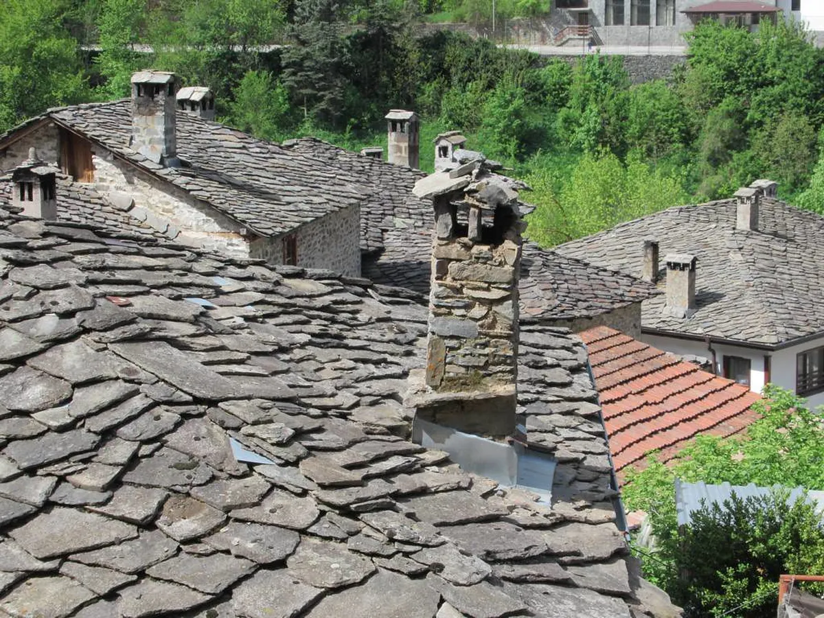
Smolyan town is the cultural anchor of the central Rhodopes. The Regional History Museum holds traditional costumes and archaeological finds, and the local planetarium, the largest in Bulgaria, runs shows on the night sky most evenings. For authentic Rhodopean architecture, Shiroka Laka Visitor Guide is a short drive away and worth pairing with a lakes visit.
For more adrenaline than a lake walk provides, local operators run buggy and ATV tours over the rougher terrain, plus guided mountain bike routes for beginners and experienced riders. Rock climbing and horseback riding pick up in summer, and skiing takes over the Pamporovo slopes in winter. If rock formations interest you more than adventure sports, the Wonderful Bridges (chudnite Mostove) Visitor Guide make an easy add-on.
Family-Friendly, Budget-Friendly, and Accessibility Tips
Families generally do well here: several lower lakes have flat, grassy banks suited to a picnic, and the main eco-path is wide enough for children to walk without constant hand-holding. Pack water and snacks, since there are no shops once you leave the main road, and the whole visit costs nothing beyond fuel or a taxi fare.
Mobility is the one real limit. The forest paths are unpaved, and stretches of root, loose scree, and stone steps make the eco-path unsuitable for wheelchairs or standard strollers; anyone with limited mobility should plan to see the lowest lake, Keryanov Gyol, from the car park rather than attempt the full loop. Pets are technically allowed but not encouraged by local guides, since the same uneven ground is hard on paws near the steeper drops around Matnoto.
Budget travelers can stay in a Smolyan guesthouse rather than a Pamporovo resort room and still reach the lakes in under twenty minutes; a weekday visit also avoids most of the crowd driving up from nearby cities.
Planning Your Itinerary: A Smooth Smolyan Day Trip
Start early to beat the midday sun and the parking crush. Spend the morning on the Three Lakes eco-path and the Orpheus' Rock viewpoint, then head into Smolyan for a traditional Rhodopean lunch at a local tavern. In the afternoon, a short drive brings you to the dramatic Trigrad Gorge Visitor Guide and its towering cliffs, a good contrast to the softer lake scenery.
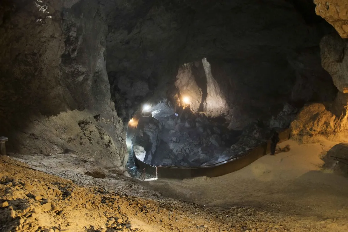
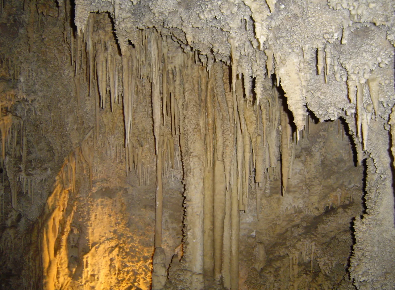
If you still have daylight left, the region's caves offer a cool break from summer heat, and several ridges nearby make a good spot to catch sunset before heading back. Build in enough margin to be off the mountain roads before full dark, since lighting is minimal outside the resort areas.
Practical Logistics: Currency, Booking, and Local Support
Bulgaria's official currency is the Lev (BGN); euros are increasingly accepted in resort areas but mountain cafes still expect cash in Lev. Cards work in larger hotels and most Smolyan restaurants. Book any guided tour ahead during July and August, when local operators fill up fast. Find more on nearby options through Pamporovo Attractions activities pages.
English is common in tourist-facing businesses, though a few Bulgarian phrases help in smaller villages. Mountain rescue services operate here, so keep a charged phone and download offline maps before you lose signal in the forest. Stay on the marked trail and carry your rubbish back out; there are no bins along the eco-path.
Meeting & Route: Navigating the Self-Guided Trails
Self-guided walking is by far the most common way to see the Smolyan Lakes, and no permit or guide is required. The main trailhead sits near the lift station connecting to Snezhanka Peak; look for the green-and-white markings that flag the official eco-path. A published self-guided itinerary covers the same ground, typically around three hours, finishing back where it started near Smolyan.
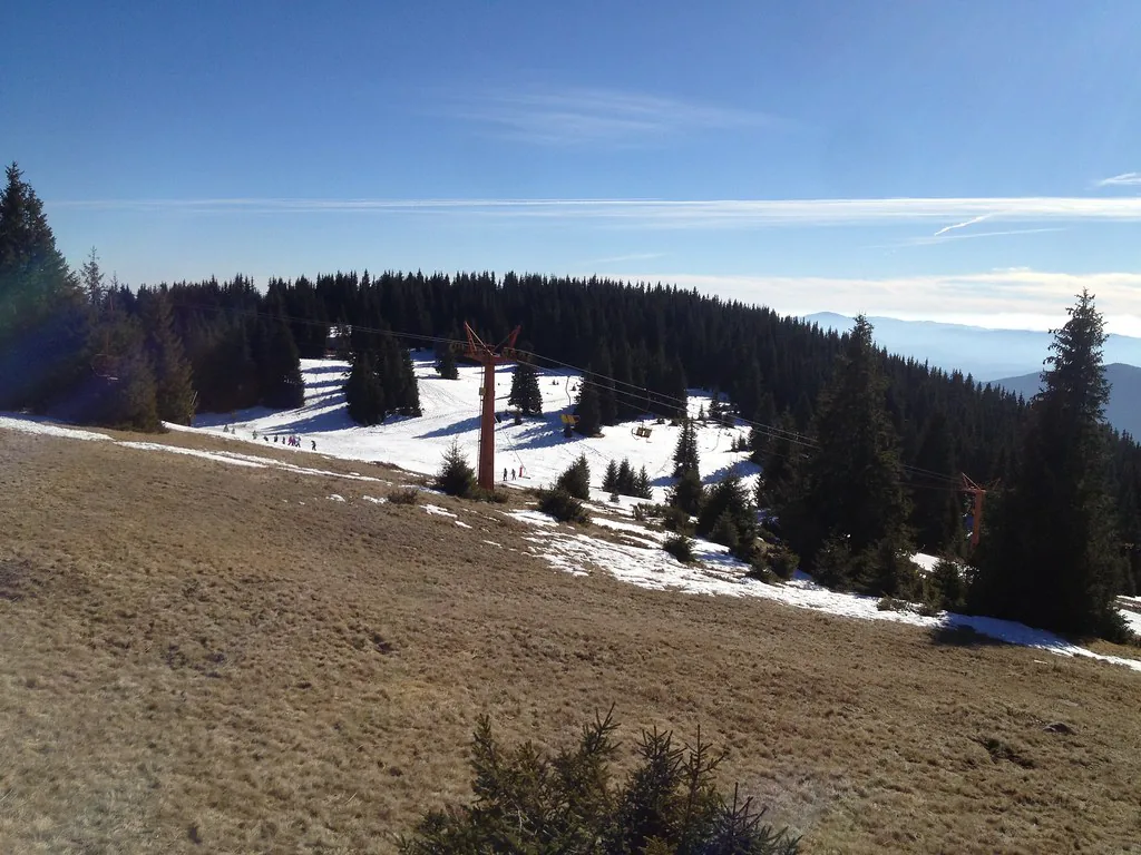
Most walkers start at the lowest lake and work uphill, with the loop returning past different scenery. Trail maps posted at the entrance flag any recent closures, usually after storm damage. Going self-guided means you set your own pace and linger at whichever lake you like best.
Continue planning: Use Pamporovo Attractions: Top 9 Things to Do in the Rhodope Mountains to connect this guide with the rest of your Bulgaria itinerary.
Frequently Asked Questions
What are the Smolyan Lakes?
They are a scattered group of small glacial-origin mountain lakes in the Cherna (Black) River valley just above Smolyan, in the Rhodope Mountains, known as 'the emerald eyes of the Rhodopes.'
How many lakes are there?
Historically around twenty lakes existed, but only about seven remain today; the others have silted up into swamps and meadows over time.
Is it free to visit the Smolyan Lakes?
Yes, it is a free, open-access natural area with no entrance fee.
How do you get to the Smolyan Lakes?
They lie just a few kilometres above Smolyan town, off the road between Smolyan and Pamporovo, and are reachable by car or on foot via marked trails.
Is the Smolyan Lakes walk easy?
Yes. The main loop linking the largest lakes (such as Bistroto and Mutnoto) is an easy, well-marked eco-trail of about an hour that is suitable for families.
What can you do at the Smolyan Lakes?
Gentle hiking, picnicking, photography, fishing and camping; the area also connects to longer trails toward Snezhanka Peak and mountain huts.
When is the best time to visit?
Late spring through autumn (especially late May or September) for crisp air and quiet trails; winter access is possible but the trails are snowy.
How far are the lakes from Pamporovo?
They sit in the valley between Smolyan and the Pamporovo resort, an easy short drive from either, making them a convenient nature stop.
The Smolyan Lakes pair genuine natural beauty with an easy, free day out, which is a rare combination in the Rhodopes. Whether you stick to the Three Lakes eco-path or work through all eight named lakes, pair the walk with a stop in Smolyan town for food and culture. Use this 2026 smolyan lakes visitor guide to plan the details, then leave enough time on the ground to actually slow down by the water.
For more Pamporovo planning, read our Day Trips from Pamporovo 2026: Smolyan, Caves & Rhodope Highlights guide.
For official details, visit the Smolyan Lakes on Wikipedia.