Wonderful Bridges (chudnite Mostove) Visitor Guide
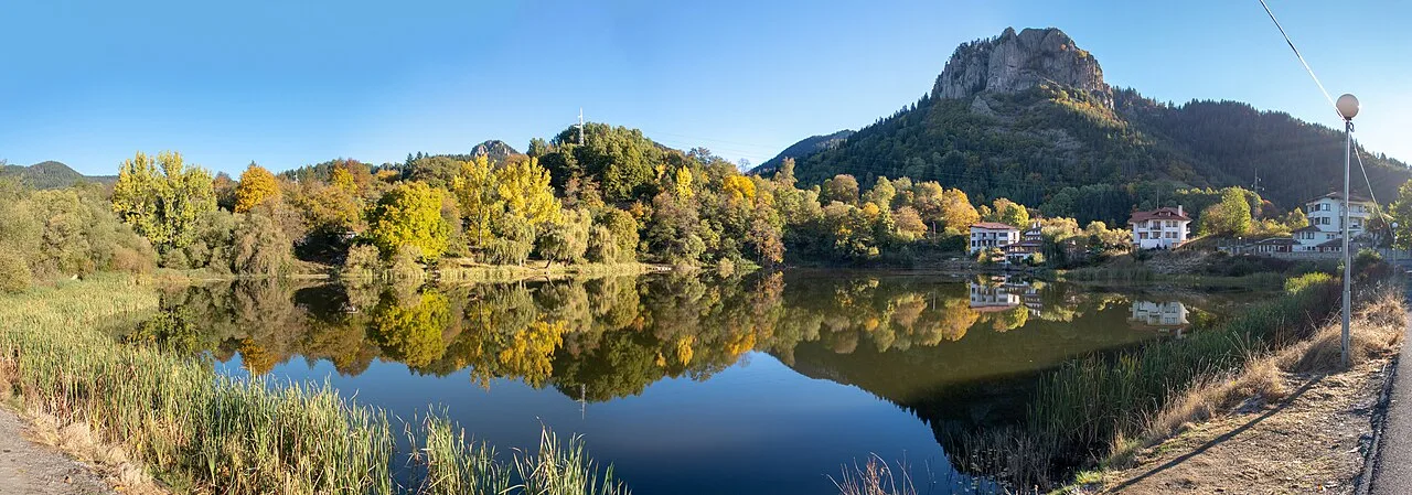
The Wonderful Bridges (Chudnite Mostove) are two natural marble rock arches carved by the Erkyupriya River in Bulgaria's Western Rhodope Mountains, sitting at about 1,450 m at the foot of Golyam Persenk on Chernatitsa Ridge. Protected as a natural landmark since 1949, the site draws hikers, photographers and families who want a full day of dramatic scenery without a demanding climb.
To see the marble formation and the surrounding Rhodope landscape before visiting, this walkthrough shows the scale of the arches and the river canyon:
Most visitors base themselves in nearby Pamporovo Attractions and drive out for the day, since the final approach road is narrow and there is no scheduled public transport to the site. This wonderful bridges (chudnite mostove) visitor guide covers the walk itself, what it costs, and the details first-time visitors tend to get wrong.
Whether you are planning a short detour from a longer Rhodope trip or building a whole day around the bridges, the site works for a wide range of fitness levels. The paths are graded but not paved, and the reward is one of the most photographed rock formations in southern Bulgaria.
The Two Marble Arches Up Close
The formation is two bridges, not one. The larger bridge is around 100 meters long and about 15 meters wide at its widest point, spanning three vaulted arches; the biggest of the three rises roughly 45 meters above the river and is about 40 meters wide, with the Erkyupriya River (locally also called Aidarsko Dere) running beneath the middle arch. A marked path crosses over the top of it, and stairs lead down so you can also walk underneath and view the arch from the riverbed.
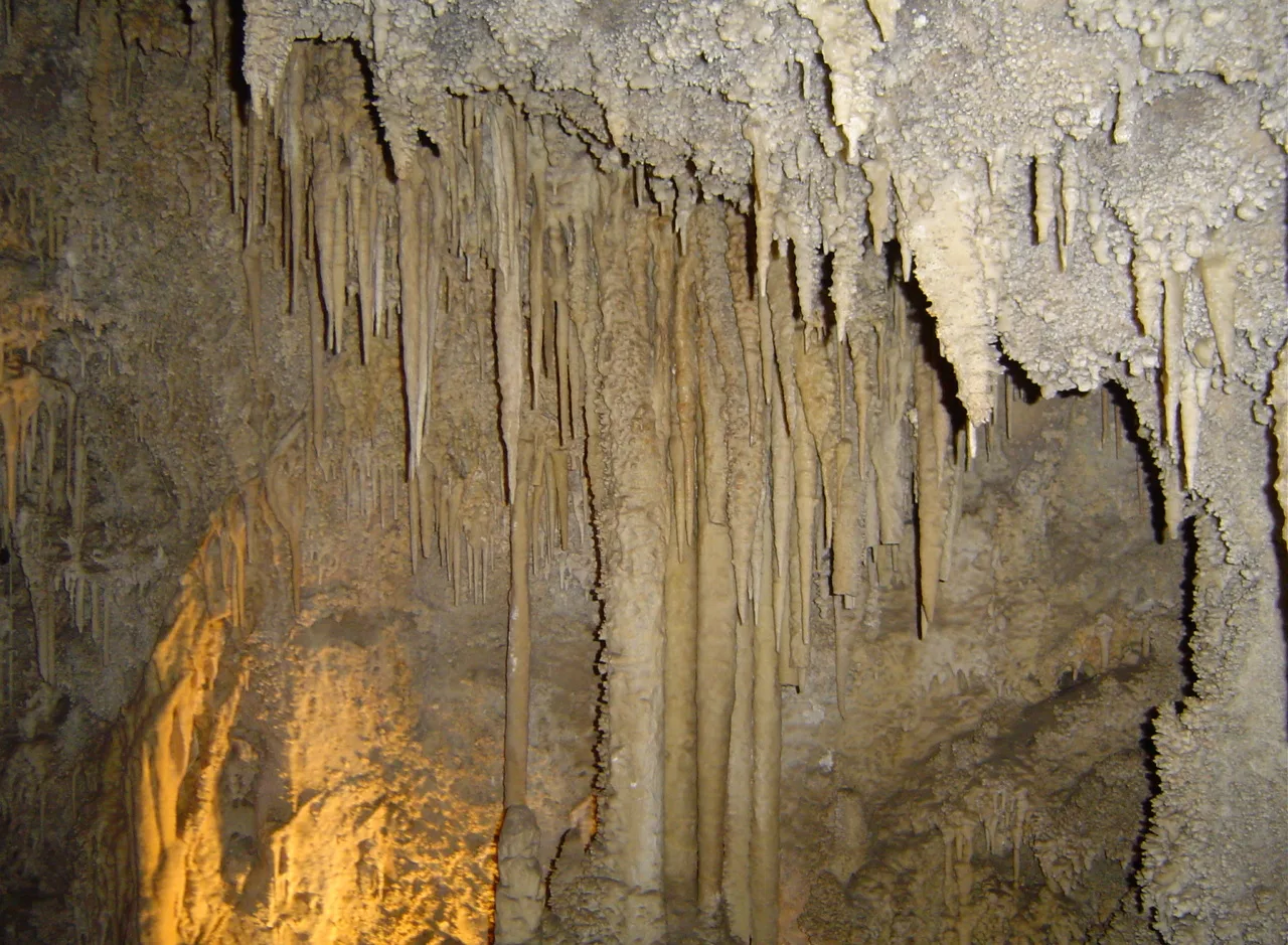
About 200 meters downstream sits the second bridge, a narrower, tunnel-like passage roughly 60 meters long and about 50 meters high, with an arch around 30 meters tall. It opens wide at first, then narrows gradually into a crack too tight to pass through; the river vanishes here and does not resurface again for about 1.5 km. Right at the entrance to this second bridge is the mouth of the Icy Cave (Ledenata Peshtera), where ice lingers well into summer even when the valley outside is warm — a detail most visitor write-ups skip entirely.
The bridges are not the result of an earthquake, despite what a few pages suggest. They are a classic karst formation: the river spent thousands of years dissolving cracks in the marble bedrock into an underground cave, and as the cave roof thinned, sections of it collapsed, leaving the two remaining arches standing. That is also why the rock here is smooth marble rather than the limestone typical of Bulgaria's other karst sites, such as Devetashka Cave near Lovech.
The Dragon Legend and Nearby Shiroka Laka
Local folklore explains the bridges differently. In the story told around the village of Zabardo, a dragon terrorizing local goat herds swallowed a donkey loaded with burning tinder, then burrowed into the mountain trying to ease its indigestion and died there; the collapsing tunnels it left behind became the arches. It is the kind of tale worth asking about if you stay in a local guesthouse — most hut keepers know a version of it.
For the human history rather than the mythical one, the village of Shiroka Laka is a worthwhile stop on the way to or from the bridges. Its stone-roofed houses are protected as an architectural reserve, and it is the traditional home of Rhodope bagpipe (kaba gaida) music — the local music school still trains students in it.
The small tourist complex at the bridges has basic signage on the geology and the karst process, but nothing resembling a museum. Treat Shiroka Laka, not the bridges, as the cultural stop of the day; the bridges themselves are a nature visit first.
Hiking Trails on the Chernatitsa Ridge
Beyond the short walk to the bridges themselves, the surrounding ridge has marked longer routes. From Zabardo village it is about 2.5 hours on foot; from Orehovo village via the Kabata hut it is closer to 4.5 hours. Both routes run mostly on forest dirt roads and trails through pine and spruce, gaining real elevation rather than a flat stroll.
Two further routes climb onto the ridge itself: one to Izgrev hut (around 5 hours, with an option to continue to Shiroka Laka or Chepelare) and one to Persenk hut (about 3 hours from Orehovo). These suit hikers who want a genuine mountain day rather than a half-day detour to see the arches.
At 1,450 m the air stays noticeably cooler than the valleys below, even in August, and the rock ledges around the bridges support Haberlea rhodopensis (silivryak), a rare resurrection plant found almost nowhere outside the Rhodopes and northern Greece. If you would rather add water instead of altitude, the 10 Essential Tips for Your Smolyan Lakes Visitor Guide are a manageable drive away and pair well with a two-site day.
Visiting With Kids or on a Budget
There is no entrance ticket for the bridges — access to the natural landmark itself is free. The only cost most visitors run into is parking near the tourist complex, which can carry a small charge that is not posted anywhere online; budget a few leva just in case.
The main path to the larger bridge is wide and graded enough for children with adult supervision, though the stairs down to the riverbed are steeper and need more attention with younger kids. Families on a tight budget can pack their own food — there is an on-site restaurant, but prices run higher than in town given how remote the location is.
For an overnight stay without a hotel bill, Chudnite Mostove Hut sits right next to the bridges, and Skalni Mostove Hut is about 20 minutes further up the ridge. Both are basic mountain-hut lodging, but staying over means you can see the arches at sunrise before any day-trip groups arrive.
Getting There and Practical Advice for Your Visit
There is no scheduled public transport to the bridges, so a car is effectively required. The signposted turn off the Plovdiv–Smolyan road sits about 70 km south of Plovdiv, and from there a roughly 17 km paved road climbs to the site, about 5 km northwest of Zabardo. Coming from Chepelare, the drive is about 35 km northwest; from Pamporovo, plan on roughly 47 km via Shiroka Laka and Zabardo.
Card payment is unreliable this far off the grid — carry cash for parking, the on-site restaurant, and hut lodging, since the last reliable ATMs are back in Chepelare or Smolyan. The final stretch of road narrows with blind bends, so keep speed down and expect to meet oncoming cars.
Wear proper walking shoes with grip; the marble surfaces get slippery when wet, and moss and mineral residue coat sections of the path even in dry weather. Set aside 2-3 hours to walk under and over the large bridge and take in the surroundings — closer to a half or full day if you add one of the longer ridge trails.
In winter, the access road and paths can ice over or hold snow, so check conditions before committing to the drive. Late spring through autumn is the easiest window, and a weekday morning start is the best way to beat the coach groups that tend to arrive from Plovdiv by mid-morning.
Where to Base Yourself: Pamporovo or a Village Guesthouse
Pamporovo is the practical base for most visitors. It has the widest choice of hotels and restaurants in the area and sits within about 47 km of the bridges by car. Resort options range from large spa hotels, including Grand Hotel Murgavets in the resort center, down to smaller family-run chalets, and booking ahead matters through the winter ski season and the July–August peak.
The trade-off is distance and driving time in exchange for comfort — a spa, a restaurant choice for every night, and an easy fallback if the weather turns. Many of the larger hotels can arrange transport or point you to a local driver for the day trip out to the bridges.
The alternative is a guesthouse in a smaller village such as Shiroka Laka or Zabardo itself, which cuts the drive down substantially and usually comes with home-cooked Rhodope meals, but with a narrower choice of restaurants and no resort amenities. If panoramic views matter to you regardless of where you sleep, the Snezhanka TV Tower (Pamporovo Tower) Visitor Guide near Pamporovo is a short detour worth adding to either plan.
What to Expect on the Trail
From the parking area, the scale of the upper bridge is obvious before you even start walking. A path leads across the top, and a series of stone and metal stairs — on the order of a hundred-plus steps — takes you down into the canyon for the view from below, which is the more dramatic of the two.
There is currently no accessible route to the riverbed: the descent is steep, uneven, and not manageable with a wheelchair or serious mobility limits. If that is a concern, the platform near the parking area still gives a full view of the main arch from above, so the trip is worthwhile even if you cannot manage the stairs.
Stay on the marked paths — the marble gets smooth and mossy in patches, and there are real drops near the edges that are not always fenced. Keep a close hold on kids near the rim, and budget extra time on the way down if the rock is wet.
Nearby Sights Worth Combining
The Rhodopes around the bridges reward a multi-stop day. Trigrad Gorge Visitor Guide and its Devil's Throat Cave, with its underground waterfall, sit within a similar driving radius and offer a starker, more vertical landscape than the bridges.
Yagodina Cave Visitor Guide adds the underground half of the picture, with cave pearls and formations built up over millions of years — a useful contrast if the bridges leave you wanting more karst scenery without another long hike.
If you are covering more of Bulgaria on the same trip, Krushuna Waterfalls near Lovech give a very different, turquoise-pool version of karst scenery, and the Iskar Gorge suits travelers who would rather see limestone cliffs from a train window than a hiking trail. Neither replaces the bridges — the marble arches remain the more distinctive single formation in the southern half of the country.
The Feeling of Being There
Photos of the bridges rarely match the scale in person. Most visitors describe the same moment: seeing the underside of the large arch for the first time from the riverbed, after a descent that gives no real hint of what is coming. The rock, the light through the opening, and the sound of the river bouncing off marble walls tend to be what people remember rather than the walk itself.

Timing changes the experience more than most guides mention. Midday sun flattens the canyon and brings the coach groups; early morning or the last two hours before sunset put softer light on the marble and thin the crowds considerably.
It is a site that rewards patience rather than a quick stop on the way somewhere else. The two-and-a-half to three hours it takes to see both bridges properly is time well spent, and most visitors who rush it end up wishing they had budgeted more.
Continue planning: Use Pamporovo Attractions: Top 9 Things to Do in the Rhodope Mountains to connect this guide with the rest of your Bulgaria itinerary.
Frequently Asked Questions
What are the Wonderful Bridges?
Chudnite Mostove (the Wonderful Bridges) are two natural marble rock arches in the Western Rhodope Mountains, formed where the Erkyupriya River eroded and partly collapsed an ancient cave. They sit at about 1,450 m at the foot of Golyam Persenk peak and have been a protected natural landmark since 1949.
Is there an entry fee?
No. The Wonderful Bridges are a free-access natural landmark with no entrance ticket. There is a tourist complex on site with a hut, restaurant and parking, and parking may carry a small charge, but visiting the bridges themselves is free.
How do you get there?
From the Plovdiv-Smolyan road, a signposted turn (about 70 km south of Plovdiv) leads onto a roughly 17 km asphalt road up to the site, about 5 km northwest of Zabardo village. The nearest tourist information centre is in Chepelare.
Can you walk under and over the bridges?
Yes. Marked paths let you view the formation both from below and from above, including walking beneath the large arch. The terrain is uneven and steep in places, so comfortable, low-profile walking shoes are recommended.
How big is the large bridge?
The larger bridge is about 15 m wide at its widest and nearly 100 m long, spanning three vaulted arches; the biggest arch is roughly 45 m high and 40 m wide, with the river flowing beneath the middle arch.
How much time should I plan?
Allow at least 2-3 hours to walk under and over the large bridge and explore the immediate surroundings. If you plan to hike the longer trails in the area, set aside a half or full day.
When is the best time to visit?
Late spring through autumn offers the easiest access and greenest scenery. In winter the paths and the access road can be icy or snow-covered, so check conditions before driving up.
The Wonderful Bridges earn their name honestly: two marble arches, a river that vanishes underground, and a legend stranger than the geology. Following the access and timing details above should get you there and back without surprises, even on a first visit.
Whether you stay in a Pamporovo hotel or one of the mountain huts next to the bridges, plan for a half day at minimum and bring cash, sturdy shoes, and a light jacket even in summer. Pair the visit with Shiroka Laka, Trigrad Gorge, or the Smolyan Lakes to make the most of a day in this part of the Rhodopes.
For more Pamporovo planning, read our Things to Do in Pamporovo, Bulgaria: Complete 2026 Guide and Hiking in Pamporovo 2026: Trails & Rhodope Nature guides.
For authoritative information, refer to the Wonderful Bridges (Chudnite Mostove) on Wikipedia.