Vihren Peak Travel Guide: Trail, Tips & Season
Hike Vihren Peak in Bulgaria's Pirin Mountains: trail facts, timing tips, route options, and safety notes to plan a smoother climb this season.
On this page
Hiking Vihren Peak: What to Know Before You Go
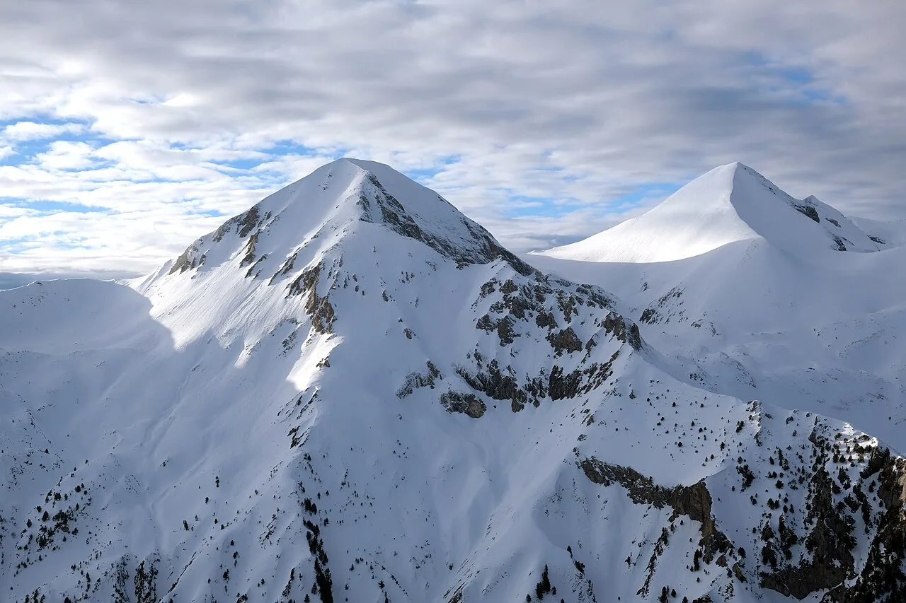
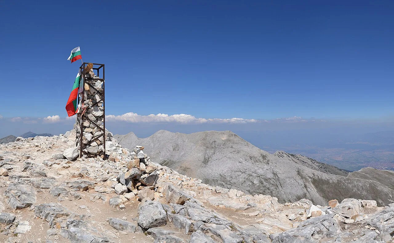
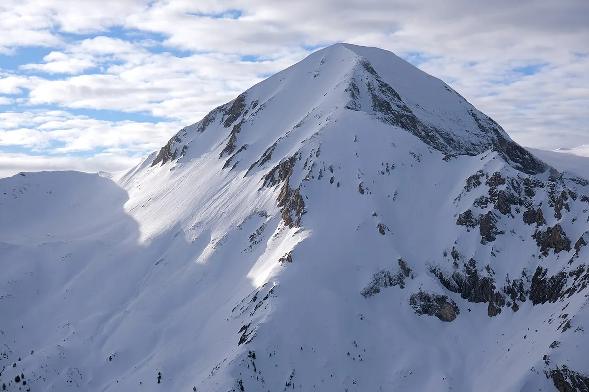
Vihren Peak rises 2,914 metres above Bulgaria's Pirin Mountains, making it the country's second-highest summit. Most hikers start from Vihren Hut and follow marked trails through alpine meadows toward the exposed upper ridge. This guide covers the route, the timing, and the trade-offs between the standard summit path and the Koncheto Ridge extension. Use it alongside a broader 10 Best Bulgaria Hiking Trails to Try in 2026 to plan a longer Pirin itinerary.
Vihren Peak Overview and Key Trail Facts
Vihren Peak sits within Pirin National Park in southwestern Bulgaria, near the town of Bansko. The summit reaches 2,914 metres, ranking second in the country behind Musala in the Rila Mountains. Most hikers reach the trailhead at Vihren Hut, which sits at roughly 2,000 metres.
Expect a full day out, since the round trip typically takes five to seven hours. July through September brings the most stable weather, while June can still hold snow patches. Download the route on AllTrails before you go, since trail markers are not always easy to follow.
- Peak elevation and difficulty rating
- Elevation: 2,914 metres (9,560 feet)
- Difficulty: Hard, not a beginner trail
- Trail type: Out-and-back or loop options
- Distance and elevation gain
- Distance: about 7.6 to 8.7 km round trip
- Elevation gain: roughly 950 to 973 metres
- Starting elevation: Vihren Hut at 2,000 metres
- Timing and best season
- Time needed: 5 to 7 hours round trip
- Best months: July through September
- Note: June can still have snow patches
- Route planning and GPX resources
- GPX files: available on AllTrails
- Download route details before setting out
Reaching Vihren Peak From Bansko
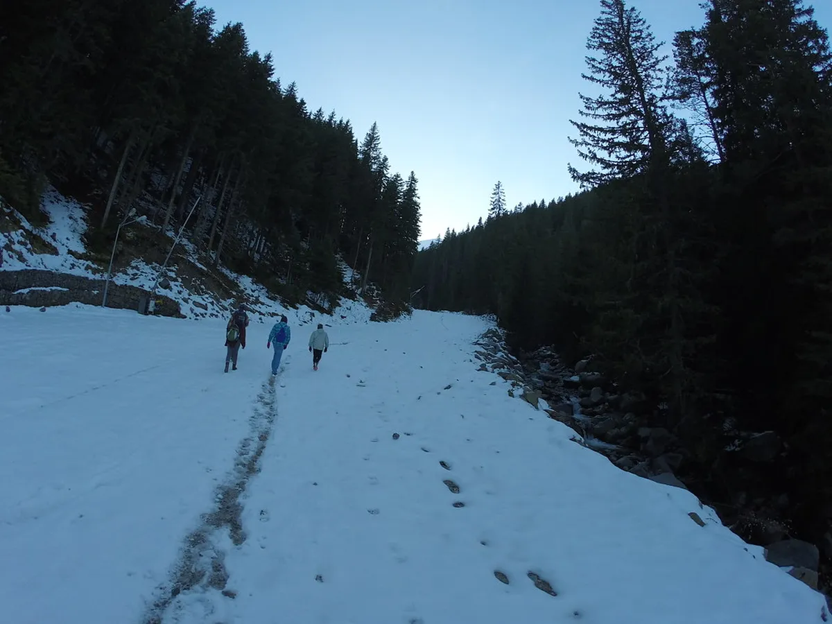
Vihren Hut serves as the main trailhead for the climb, and it sits about 30 to 40 minutes by car from Bansko. A taxi from Bansko to the hut typically costs around 10 euros one way, often arranged through local guesthouses. Many hikers set out early, around 7am, to reach the hut and start climbing before the day heats up.
From the hut, the direct route to the summit covers about 7.6 kilometres round trip with roughly 973 metres of elevation gain. A longer loop option runs closer to 8.7 kilometres if it also passes several glacial lakes on the return. Either way, the terrain climbs steadily from the first steps, so a slow warm-up pace helps early on. Trekking poles help on the initial climb, since the grade increases quickly from the parking area.
Vihren sits inside the wider Pirin range, alongside other trailheads covered in a full Rila National Park Travel Guide 2026 for the neighboring range. Comparing both ranges before booking transport helps decide whether a Bansko base or a Rila base fits the itinerary better.
Trail Markers, Route Choices, and Koncheto Ridge
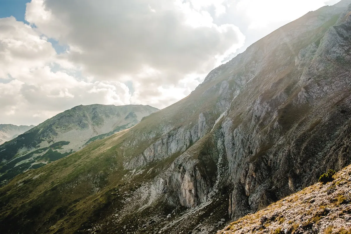
From Vihren Hut, red and white trail markers guide hikers uphill through rocky alpine meadows. The path is not technical, but loose stones and karst limestone sections make sturdy boots worth packing. Markers are not always consistent, so carrying a GPX file or an offline map reduces the risk of losing the trail. A short stop near the meadow also makes a good turnaround point if the weather looks doubtful.
Koncheto Ridge narrows to about 70 centimetres with drops of 300 to 400 metres on either side. A fixed metal cable provides hand support, but the exposure demands a steady head for heights and dry conditions.
Most guides recommend the left fork near the main junction, since it offers a steadier, less exposed climb. The right-side approach saves some distance but crosses steeper, more exposed switchbacks that suit experienced hikers better. Choose the left fork if weather looks uncertain, and save the steeper option for a clear, low-wind morning.
Past the summit, the trail connects to Koncheto Ridge, a narrow limestone spine linking Vihren to Kutelo. The ridge narrows to about 70 centimetres in places, with drops of 300 to 400 metres on either side. A fixed metal cable offers hand support, but the ridge still demands a steady head for heights and dry conditions. Skip this extension if fog, rain, or wind moves in, since exposure leaves little room for error.
Planning Your Pirin National Park Hike
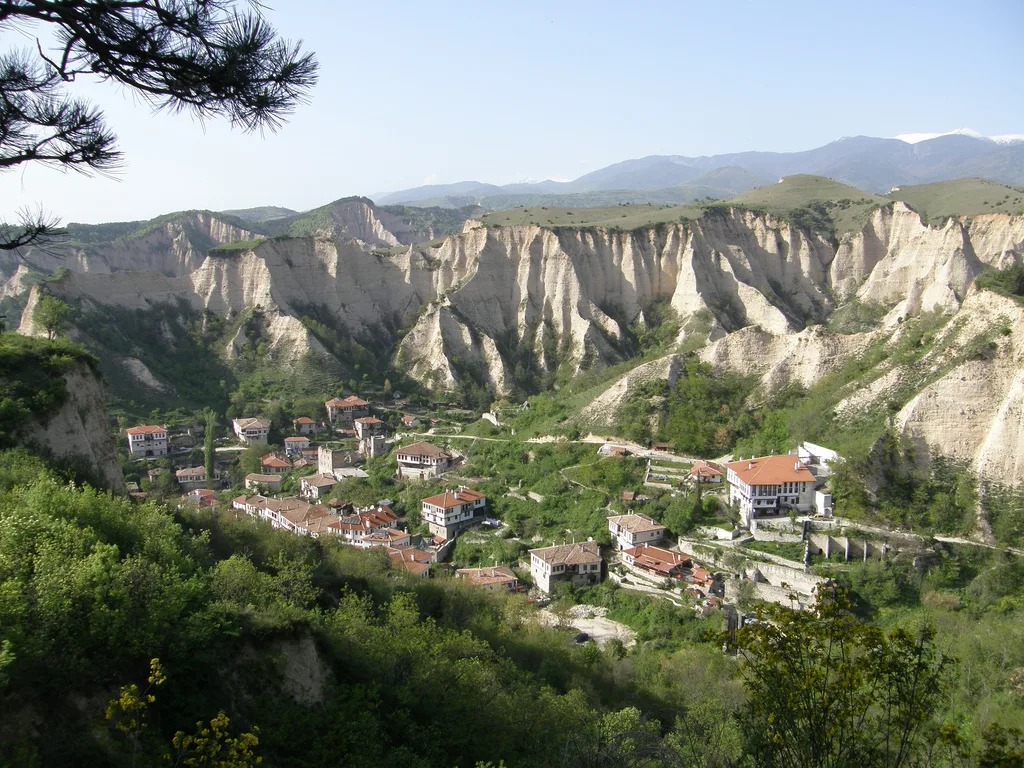
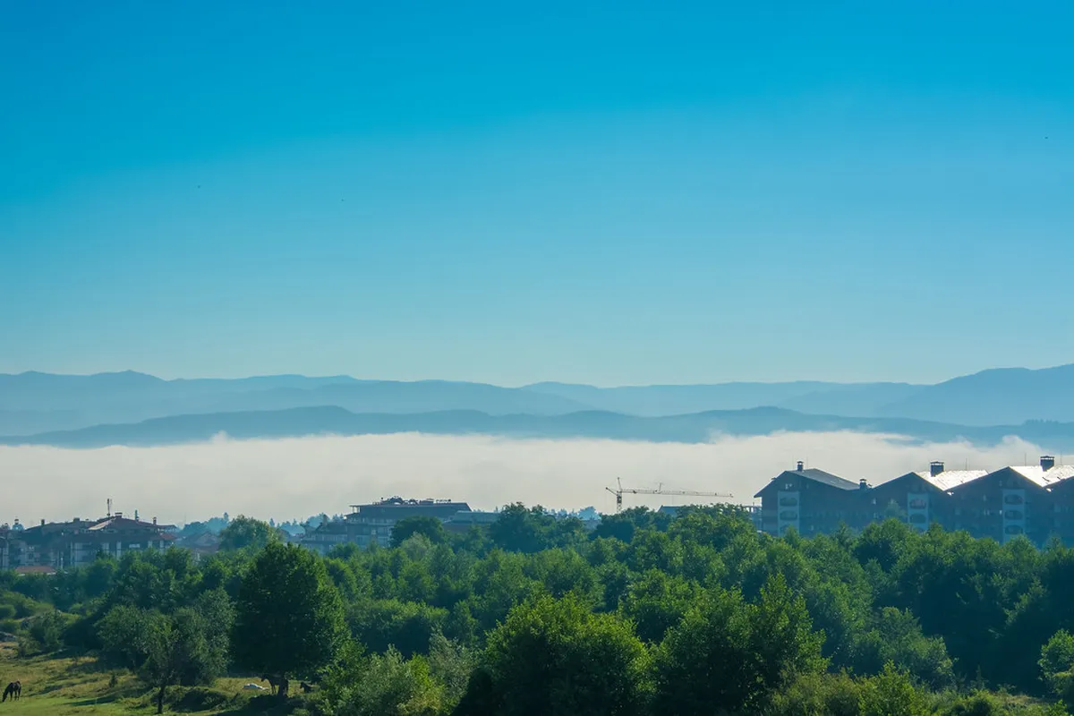
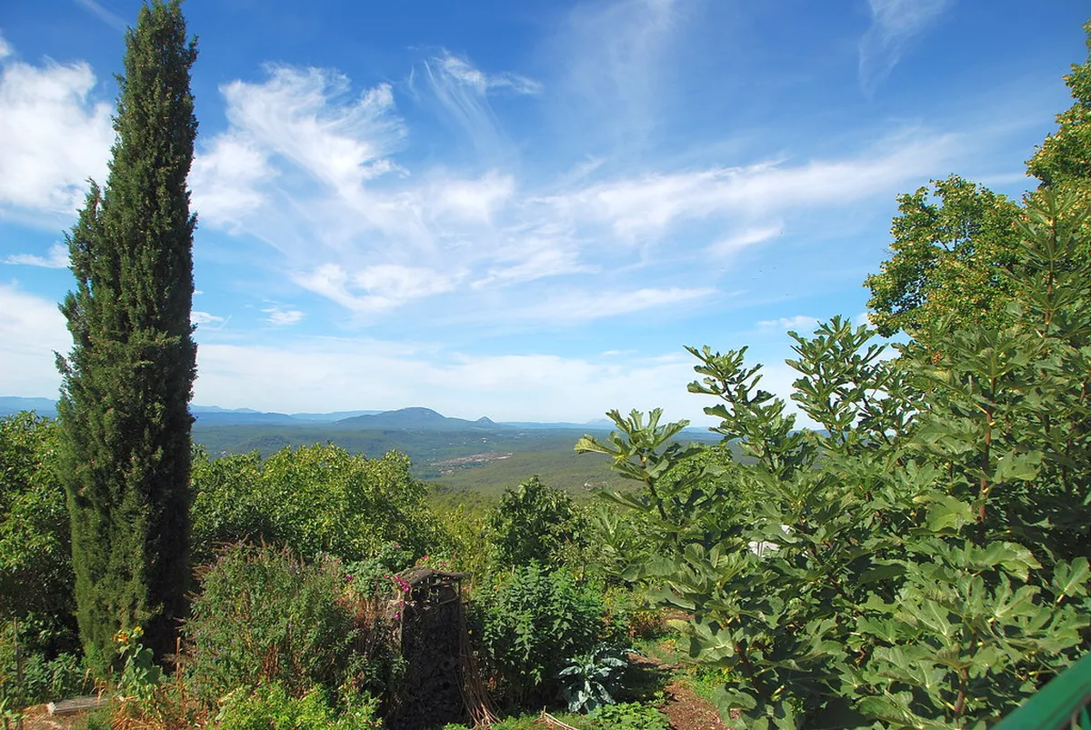
Pirin National Park is a UNESCO World Heritage Site that spans the wider mountain range around Vihren. The park holds around 118 glacial lakes, several staffed huts, and roughly twenty signposted routes for hikers. Bansko itself has grown into a base for both winter skiing and summer hiking trips into the range. Overnight temperatures can drop sharply even in midsummer, so pack a warm layer regardless of the season.
Weather can turn quickly above treeline, with fog rolling in by mid-morning even on clear days. Plan to reach the summit before midday and start descent early if clouds build over the ridge.
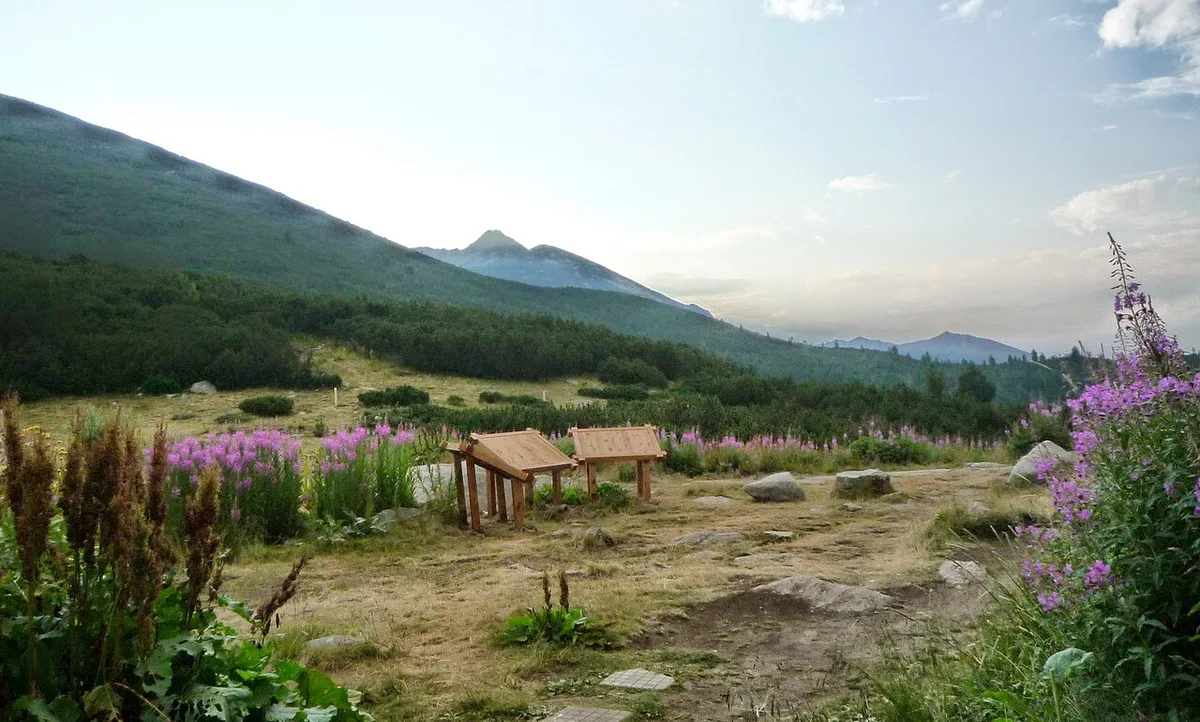
Several huts across the range offer overnight stays for hikers tackling multi-day routes beyond the single-day summit climb. This site lists current huts, bunk availability, and rough pricing across the Pirin range. Booking ahead matters on peak summer weekends, since huts near popular trailheads fill up quickly.
Weather can turn quickly above the treeline, with fog sometimes rolling in by mid-morning even on clear days. Plan to reach the summit before midday and start the descent early if clouds build over the ridge. Carry more water than usual, since streams disappear after the first climb from the hut.
Travelers building a longer Pirin and Rila trip often pair Vihren with a separate day on the Malyovitsa Travel Guide: Hiking the Rila Mountains route. Spacing summit attempts across two or three days also gives tired legs time to recover between climbs.
Returning via the Lakes Route
If you do not want to retrace every step to Vihren Hut, consider the lakes return only in clear weather and with an offline map open. From the upper saddle below Vihren, this option swings past several Pirin glacial lakes instead of dropping straight back down the main ascent line. The extra distance is modest, but the navigation is less obvious than the direct red-marked climb, especially where paths cross open stone and grass.
Use this variation when your legs still feel strong after the summit and clouds are not building over the ridge. The reward is a broader view of Pirin National Park: pale limestone slopes above dark blue lakes, with Bansko far below on clear days. Skip it if fog arrives, because the safer choice is usually to return on the route you already know. Carry enough water before leaving Vihren Hut, since reliable refill points are limited higher up.
Frequently Asked Questions
Is Vihren Peak hard to climb?
Yes, the standard route is rated hard rather than easy, mainly due to loose rock and elevation gain. The out-and-back trail climbs about 973 metres over roughly 7.6 kilometres. Hikers should be comfortable with steep switchbacks, changeable weather, and several hours of steady walking above 2,000 metres.
What is Vihren Peak known for?
Vihren Peak is known as Bulgaria's second-highest summit at 2,914 metres, inside Pirin National Park. It also connects to Koncheto Ridge, a narrow limestone spine popular with experienced hikers. The peak offers wide views over the park's glacial lakes and surrounding granite peaks on clear days.
What is the elevation of Vihren Hut?
Vihren Hut sits at roughly 2,000 metres, serving as the main trailhead for the summit route. It sits about 30 to 40 minutes from Bansko by car or taxi. Most hikers use the hut as a rest stop before and after the climb to Vihren Peak.
Which mountain in Bulgaria do hikers rate most scenic?
Many hikers rate Vihren Peak among Bulgaria's most scenic climbs for its ridge views and glacial lakes. Musala, the country's highest peak in the nearby Rila Mountains, is another common favorite. Check the Bulgaria travel blog for more range comparisons and trip ideas.
When is the best time to hike Vihren Peak?
July through September offers the most stable weather and driest trail conditions for the summit route. June can still hold snow patches on higher sections near the ridge. Aim for an early morning start to summit before afternoon storms build over the Pirin peaks.
Vihren Peak rewards hikers with sweeping views, a manageable single-day summit, and an optional edge for those ready to test the Koncheto Ridge. Checking weather, packing enough water, and starting early all make the difference between a smooth climb and a rushed retreat. Whether the goal is the standard summit route or the full ridge traverse, Pirin National Park rewards careful planning. Save the route beforehand, watch the forecast, and treat the exposed sections with the respect they deserve.
Continue reading
More guides you'll find useful