Troyan Pass Beklemeto Road Trip: A Complete Driving Guide
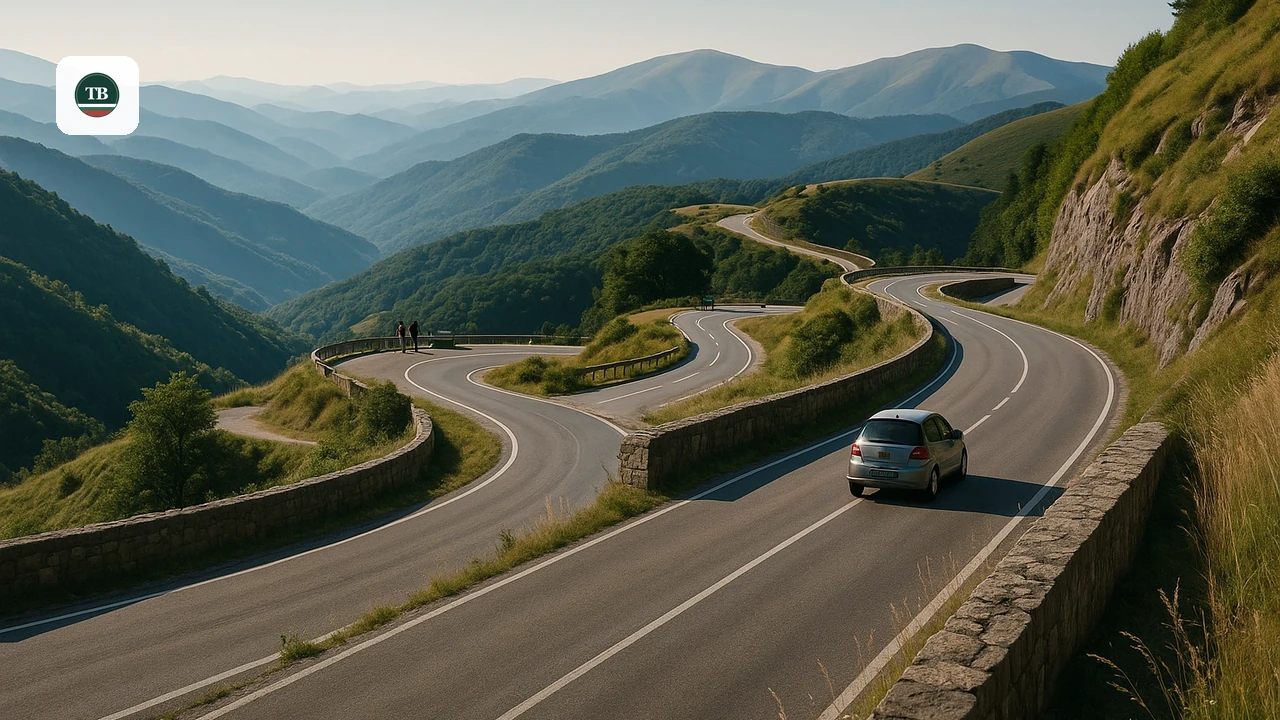
Last updated August 2026, this Troyan Pass Beklemeto road trip guide covers Road 35's climb from Troyan over the Balkan Mountains to Karnare. The route rises to a summit near 1,520 meters, crosses more than 30 hairpin turns, and follows the line of the old Roman Via Trayana. Expect a drive of 1 to 1.5 hours without stops, plus extra time for the Arch of Freedom and the Roman ruins along the way.
Troyan Pass Beklemeto Road Trip at a Glance
Road 35 links Troyan and Karnare across Bulgaria's Stara Planina range. Panoramic views, Roman-era ruins, and the Arch of Freedom monument are the main draws along the way. Use the table below for the core numbers before setting out. Pair this guide with 10 Best Things to Do in Troyan, Bulgaria: Monastery, Crafts & Hot Springs to round out the rest of the visit.
| Detail | Figure |
|---|---|
| Road | Road 35, Troyan to Karnare |
| Total length | 48.4 km (30 miles) |
| Summit elevation | 1,520-1,525 m (4,990-5,003 ft) |
| Troyan to summit | about 20 km (12 miles) |
| Driving time | 1 to 1.5 hours without stops |
| Hairpin turns | 30+ |
| Steepest gradient | up to 11.2% |
| Typical closure | late November to April or May |
Where the Troyan Pass Crosses the Balkan Mountains
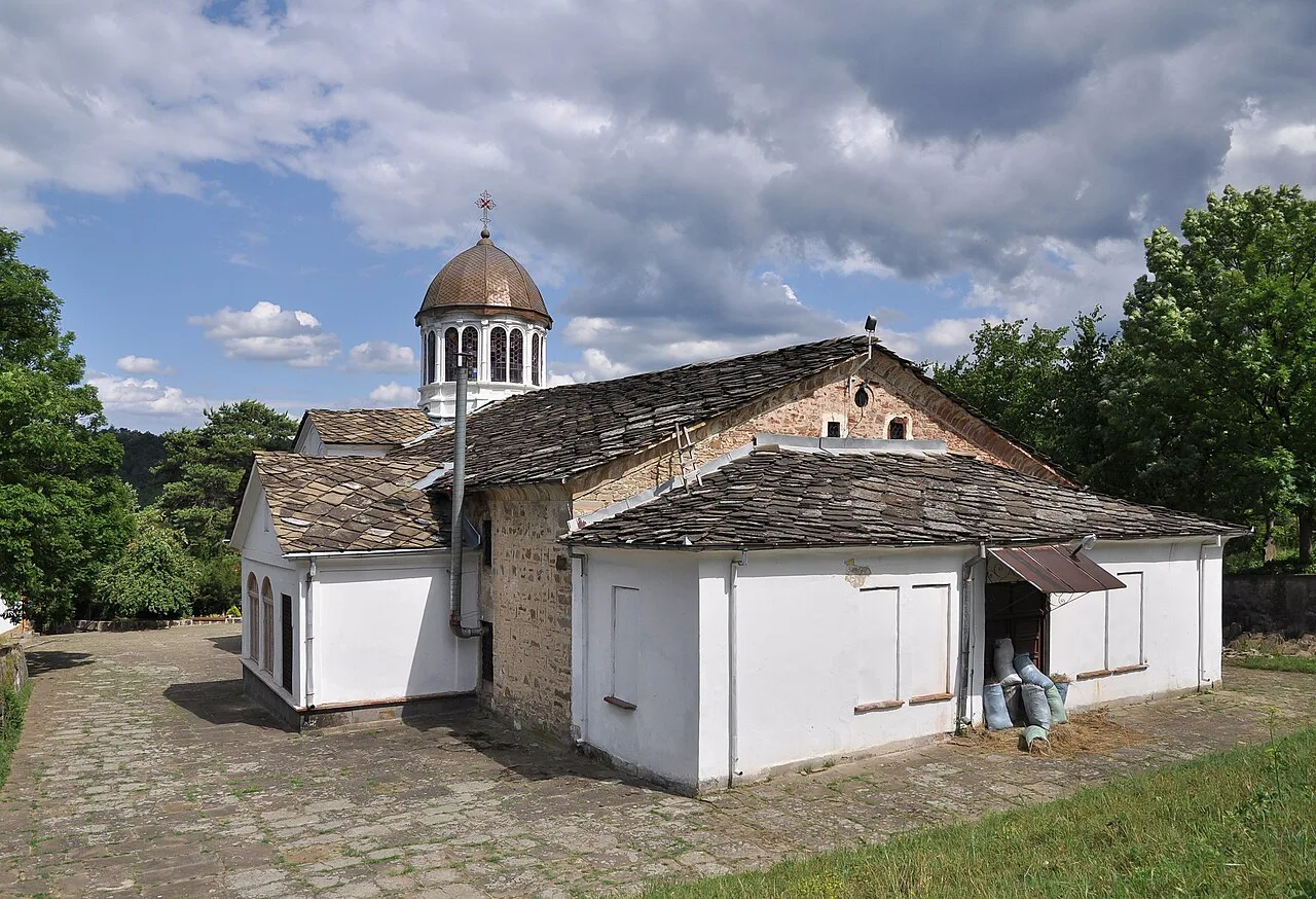
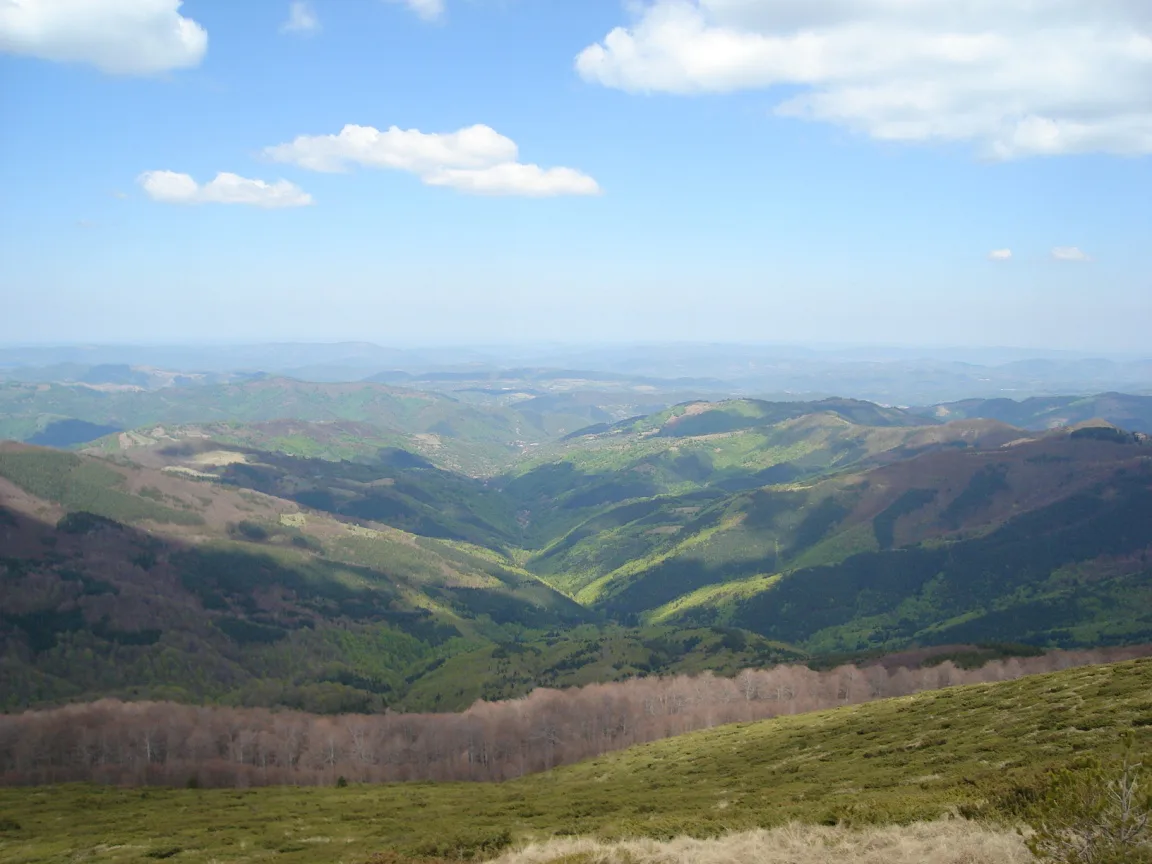
Locals call this crossing the Troyan Pass. Older maps and hiking clubs use its Bulgarian name, Beklemeto. Road 35 climbs from Troyan, in Lovech Province, over the Stara Planina to Karnare, on the Karlovo Plain in Plovdiv Province. Its summit marks the boundary between the two provinces, roughly 20 km (12 miles) south of Troyan town. This route follows the line of the ancient Roman Via Trayana. Beklemeto itself has Turkish origins and translates roughly to guard, a nod to a watch tower once thought to have stood at the pass. Roman-era remains still mark the way. Ad Radices fortress stood north of the pass, and Sub Radices stood to the south. At the summit, the crest station of Montemno left a foundation that is still visible today. Troyan Municipality's official site lists Beklemeto Pass among the area's defining landmarks. Bulgaria's official tourism portal profiles the crossing as one of the country's classic mountain drives. Guides to the 18 Best Places to Visit in Bulgaria: A Complete 2026 Guide often list it for its Roman history and mountain views.
Choosing a Direction: Troyan to Karnare or Karnare to Troyan
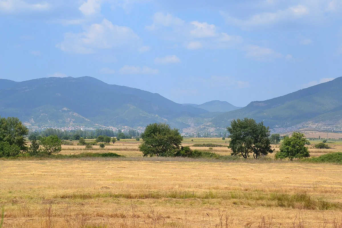
Starting in Troyan gives a gradual approach. Beech forest lines the road for the first stretches before the switchbacks begin near the summit. Starting in Karnare reverses the workload. That southern side gains 991 m (about 3,250 ft) of elevation over 22.2 km (13.8 miles), with grades that reach 11.2% in places. Climbing happens fast and early on that approach. Drivers who want relaxed photo stops generally prefer the Troyan-to-Karnare direction, since the gentler grade allows more pull-offs before the steepest bends. Drivers who want the more dramatic hairpin sequence, and who are comfortable with sustained climbing, often start from Karnare instead. Whichever direction you choose, plan to drive well under the posted limit once the hairpins begin, since sightlines are short and oncoming traffic can appear suddenly.
Key Stops Along Road 35: Arch of Freedom and Roman Ruins
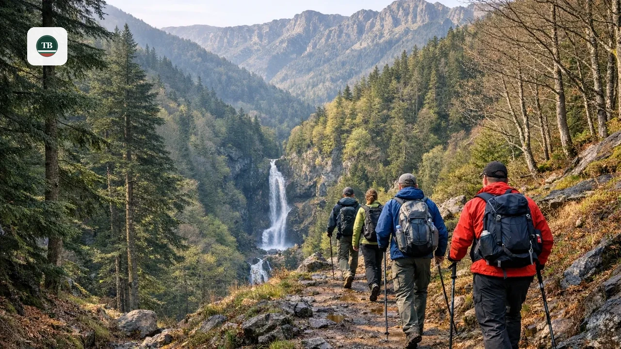
The most photographed stop is the Arch of Freedom, a 35 m (115 ft) concrete monument on Goraltepe peak east of the summit. Reaching the monument takes about a 15-minute walk from a small pull-off, along a narrow side road. From the top, the 360-degree panorama takes in both the Sredna Gora hills and the Balkan Mountains range. For Roman-history stops, watch for pull-offs near where the road crosses closest to the summit ridge. Montemno station's foundation is the most visible trace of the old Via Trayana road at this point. Beklemeto also has a small ski resort. Services shrink outside the winter season. Treat it as a landmark, not a place to plan a meal stop, between spring and autumn. Trails from the summit area connect into hiking near Troyan inside Central Balkan National Park. Hikers covering more of the range can also check the Bulgaria mountain hiking guide for other Stara Planina routes.
Where to Stop for Photos: The Arch and the Hairpin Snake
Two shots define most photo sets from this drive. One is the Arch of Freedom itself, best framed from the pull-off near its base on Goraltepe peak, with the Balkan ridge behind it. The other is the hairpin sequence on the Karnare side, where the road switches back through more than 30 turns down the mountainside. Wide pull-offs near the upper hairpins give the clearest view of the full sequence stacked below. Shoot the hairpins from the Troyan side heading south, so afternoon light comes from behind rather than straight into the lens. Midday fog at the summit can flatten both shots. Early morning or late afternoon generally give the sharpest results.
Road Conditions and Driving Tips for the Southern Descent
Road 35 is paved for its entire length. Winter freeze-thaw cycles still leave potholes in patches by early spring. Standard passenger cars handle the drive without issue. Brakes are the real limiting factor, not ground clearance or tires. This road functions as one of the main routes connecting northern and southern Bulgaria, so expect local and through traffic even outside peak tourist months. Heavy trucks are generally restricted on the steepest sections, though the road remains a working transit route rather than a closed scenic loop. Southbound descent toward Karnare loses elevation fastest, with grades up to 11.2% and more than 30 hairpin turns between the summit and the plain. Riding the brakes continuously on that stretch can overheat them within a few kilometers. Downshift instead, and use engine braking through the switchbacks to keep speed in check. Pull over fully into marked laybys rather than stopping in the travel lane, since blind curves leave little reaction time for traffic behind you.
When to Drive the Troyan Pass: Seasonal Access and Closures
Beklemeto is typically closed from late November through April or May, once heavy snow sets in. It is among the first mountain roads in Bulgaria to close for the season, since the summit sits at 1,520 m (4,990 ft) or higher. Before committing to the drive, check Bulgaria's Road Infrastructure Agency for current winter closures on Road 35, since exact reopening dates shift year to year. Even after the road reopens for spring, shaded curves near the summit can hold ice into early May. Late May brings fresh greenery to the beech forest on the Troyan side. October brings autumn color to the same slopes, with fewer crowds at the Arch of Freedom. Fog is common at the summit even on days when Troyan and Karnare sit under clear skies. Build in extra time, and keep headlights on through the upper switchbacks when it settles in.
Turning a Short Drive into a Half-Day Trip
Driven without stops, the crossing takes 1 to 1.5 hours across 48.4 km (30 miles). Add the Arch of Freedom hike, and the half-day math changes fast. Budget about 30 minutes round-trip for the walk out to the monument and back to the car. A pull-over at the Roman ruins near the summit adds another 10 to 15 minutes. Factor in a coffee break in Troyan or Karnare on either end, and the same 90-minute drive fills a comfortable half-day.
The base drive of 1 to 1.5 hours expands to half-day when adding the Arch of Freedom walk and Roman ruins stops; shoot in early morning or late afternoon for best light, avoiding midday fog at the summit.
Nearby Extensions and Where to Stay
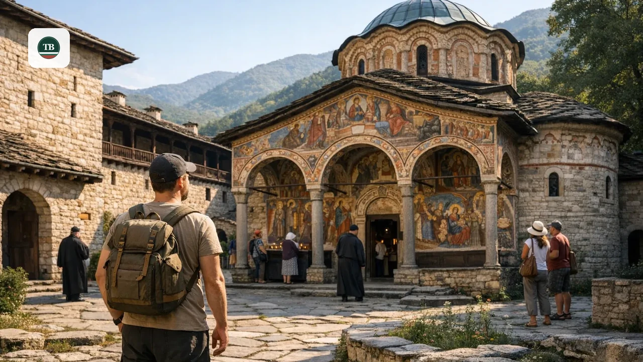
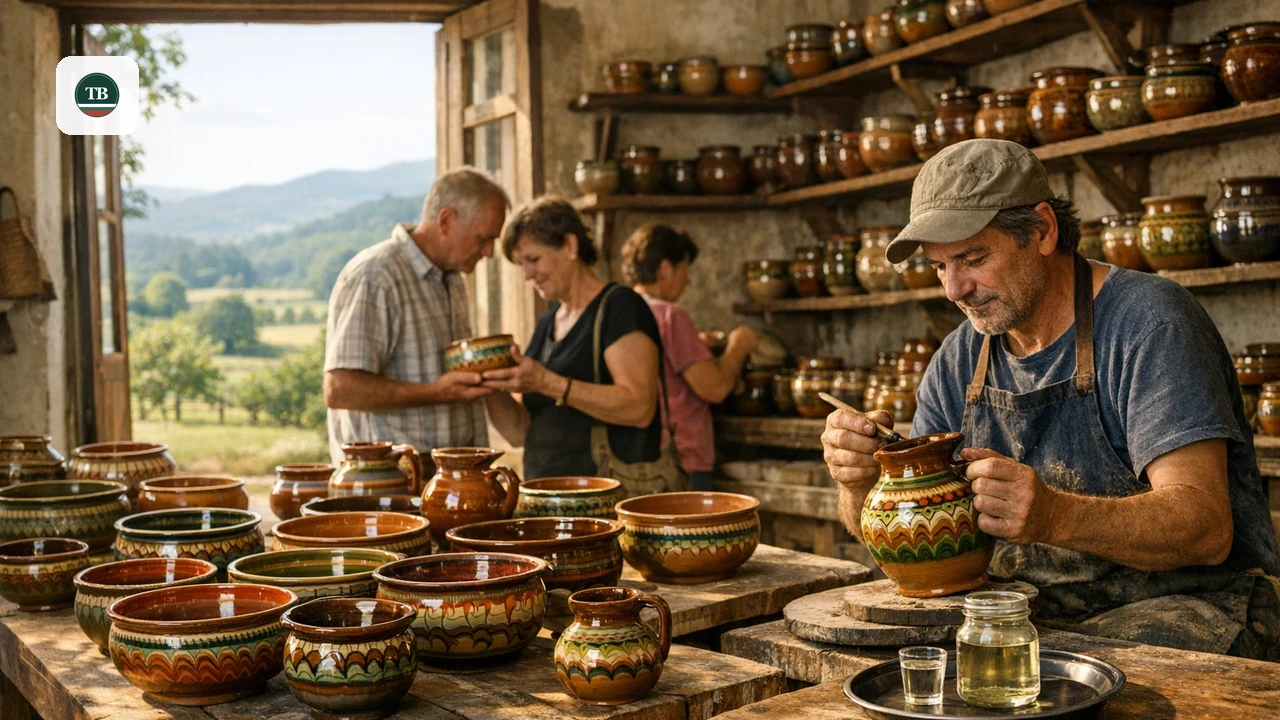
Combine the crossing with a full day out of Troyan by starting or ending at the Troyan Monastery and Oreshak crafts route. Back in town, reward the descent with a stop for Troyan pottery and rakia tastings. Shoppers heading home can browse Bulgaria souvenir shopping picks before leaving the area. Drivers stringing this crossing into a longer trip can slot it into a Bulgaria Road Trip Itinerary: 10 Essential Guide Sections that links northern and southern Bulgaria in one run. Troyan has the widest range of hotels and guesthouses for overnight stays. Mountain huts near the pass itself run limited services outside peak season. Confirm availability ahead of time if planning to stay near the summit.
Cycling the Troyan Pass from Karnare
Cyclists most often climb from the Karnare side, a 22.2 km (13.8 miles) ascent that gains 991 m (about 3,250 ft) at an average 4.5% gradient. Its steepest 100 m (330 ft) section reaches 7.9%, and short stretches elsewhere on the road hit the same 11.2% max grade drivers deal with. Climbfinder's difficulty index scores the climb at 477 points, ranking it among Bulgaria's twenty toughest and seven longest climbs. Climbfinder classifies it as a second-category climb, tough enough to need real fitness but manageable without a specialist bike. A compact gearing setup, with a small front chainring around 34 teeth and a rear sprocket of 28 to 30, keeps cadence manageable on the steady middle section. Riders can also start from Beli Osam, a village on the north side, though the Karnare approach is the more popular of the two. Climbfinder does not publish detailed stats for the Beli Osam side, so most cyclists default to the better-documented Karnare route. Climbing pace varies widely. At a slower pace of 7 km/h, the same climb takes just over three hours. A relaxed pace of 11 km/h takes roughly two hours. Faster riders in good form can reach the summit in around 70 minutes.
Mistakes to Avoid on the Troyan Pass
A few planning slips catch first-time drivers on this crossing. None are dealbreakers on their own, but planning around them turns a stressful climb into a straightforward one.
Steep grades up to 11.2% combined with 30+ hairpins increase brake-overheating risk on descent; use engine braking and downshifting through the switchbacks rather than relying on brakes alone.
- There are no gas stations between Troyan and Karnare. Fill the tank before you start climbing.
- Riding the brakes on the descent risks overheating them. Downshift and use engine braking through the switchbacks, especially on the steeper Karnare side.
- Temperatures at 1,520 m (4,990 ft) and higher run noticeably cooler than the valley floor, even in summer. Pack a layer for the summit.
- Cell signal can drop in the switchbacks on both sides of the pass. Download offline maps before you start climbing, since live rerouting is not reliable there.
Beklemeto or Shipka: choosing a Balkan crossing
If weather or closures delay your original plan, compare Beklemeto with Shipka before you commit to the road. Both cross Stara Planina, but they create different priorities for speed, comfort, and scenery.
- Beklemeto (Troyan Pass): higher altitude near 1,520 m, over 30 hairpin turns, and sharper grades; best for dramatic mountain views, the Arch of Freedom, and Via Trayana landmarks.
- Shipka Pass: lower crossing profile and usually calmer geometry through the same Balkan chain, often easier for families or first-time mountain drivers.
- Choose Beklemeto if your route starts in Troyan and you want the Arch hike, summit panorama, and Roman-route photo stops in one day.
- Choose Shipka if a Road 35 closure appears on the Bulgarian Road Infrastructure Agency notice while you are near Troyan, and your primary goal is to continue the trip between north and south Bulgaria.
Frequently Asked Questions
Is the Troyan Pass open today?
Road conditions change with the weather, so check Bulgaria's Road Infrastructure Agency listings for Road 35 before leaving. The pass is typically closed from late November through April or May in a typical year.
Where does the Troyan Pass road start and end?
The route runs along Road 35 between Troyan, on the northern side of the Stara Planina, and Karnare, on the Karlovo Plain to the south. The full crossing covers 48.4 km (30 miles) between the two towns.
Is the Troyan Pass dangerous for nervous drivers?
The road demands attention rather than nerve. More than 30 hairpin turns and grades up to 11.2% call for slow, steady driving rather than speed. Starting from Troyan rather than Karnare gives a gentler introduction to the climb.
Can you cycle the Troyan Pass?
Yes. The Karnare-side climb runs 22.2 km (13.8 miles) with 991 m (about 3,250 ft) of ascent at an average 4.5% gradient. Climbfinder scores it 477 points on its difficulty index, and a compact gear setup makes the steady middle section easier to manage.
How long does the Troyan Pass drive take?
Driving without stops takes 1 to 1.5 hours across the 48.4 km (30-mile) route. Add the Arch of Freedom hike and a stop at the Roman ruins, and plan for a half-day instead.
What is the Arch of Freedom?
It is a 35 m (115 ft) concrete monument on Goraltepe peak, east of the pass summit, reached by about a 15-minute walk from a roadside pull-off. The monument marks Bulgaria's liberation struggle and gives a 360-degree view over the Sredna Gora hills and the Balkan Mountains.