Belogradchik Hiking Trails: A Complete Guide to the Best Routes
Last updated July 2026, Belogradchik hiking trails range from short paved loops inside Kaleto Fortress to longer sandstone ridge routes through the surrounding rock forest. Trailheads start from the town square, the fortress gate, and the pine tree line near Borov Kamak. This guide covers marked eco-paths, quieter backcountry routes, and how to pair a morning hike with the fortress or nearby Magura Cave.
Essential Logistics for Belogradchik Hikers
Reaching the trailheads and staying supplied takes a little planning before you start climbing. Belogradchik has no large trailhead parking lot or visitor center stocking maps, so most of that planning happens in town before you set out. Rock formations along several routes look similar from a distance. That makes it easy to lose your bearing without a downloaded map or a marked path underfoot. Cell coverage also fades once you move past the fortress walls and into the deeper rock forest. Most first-time visitors start at the town square regardless of which trail they pick, since it connects on foot to the fortress gate and the eco-path entrance alike.
- Getting there: most visitors arrive without a car, using the transport options from Sofia. Trailheads are a walk from the bus station or main square.
- Trail markings: some eco-paths carry painted waymarks; older stretches have faded signage or none at all.
- Navigation: offline apps such as Maps.me and Wikiloc help fill the gaps, though signal in the rock forest stays unreliable.
- Water: fill bottles at a café or kiosk in town before setting out, since the rock forest itself has no dependable water source.
- Facilities: the last reliable restrooms before most trailheads sit in the town square area, not along the routes themselves.
- Timing: begin hiking as early as daylight allows, especially in summer, to finish exposed sections before peak heat.
The Best Belogradchik Hiking Trails
Five main routes cover most of the rock formations Belogradchik is known for. Each starts from a different point in town or at the forest edge. Choose the one closest to your accommodation, or to your plan for the day. Hiking itself costs nothing. Only the fortress interior charges an entry ticket, and the current price is best confirmed at the gate.
| Trail | Starting Point | Difficulty | Highlight |
|---|---|---|---|
| Fortress Loop (Kaleto) | Fortress gate | Easy to moderate; steep stairs | Platforms above the rock spires |
| Nature School Eco-Path | Town square | Easy | Ends at the Subashin Fountain |
| Lepenitsa Cave Trail | Forest edge trailhead | Moderate | Cave opening in the sandstone |
| Latin Fortress (Latinsko Kale) Trail | Past the main rock cluster | Moderate | Quiet route to a second, older fortress ruin |
| Borov Kamak Loop | Rock forest / pine tree line | Moderate | Red rock spires give way to pine forest |
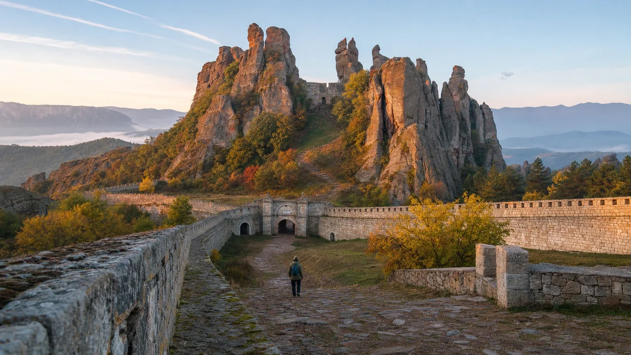
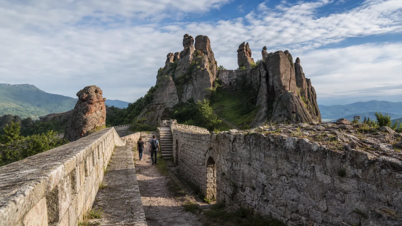
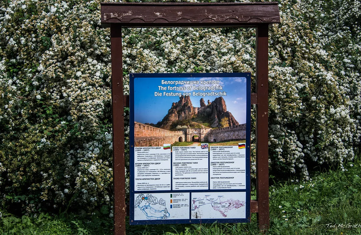
- The Fortress Loop climbs stone stairs inside the Belogradchik Fortress walls, gaining panoramic views in the shortest distance of any route.
- The Nature School Eco-Path stays gentler underfoot, heading from town toward the Subashin Fountain along one of the area's marked eco-paths.
- The Lepenitsa Cave Trail climbs toward a cave opening in the sandstone. Confirm current access and interior conditions locally before planning to go inside.
- The Latin Fortress Trail trades crowds for quiet, bypassing the main rock formations on its way to a second, older fortress ruin.
- The Borov Kamak Loop shifts from exposed red rock spires into shaded pine forest partway through, a useful option on hot afternoons.
- Tickets: buy fortress entry at the gate. The trails around it stay free and open without any ticket check.
Reading the Rock Formations and Terrain
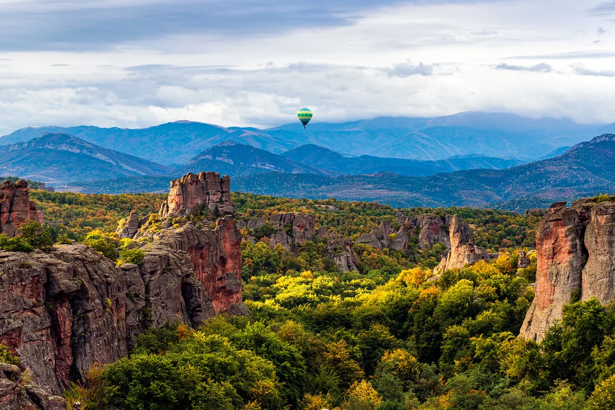
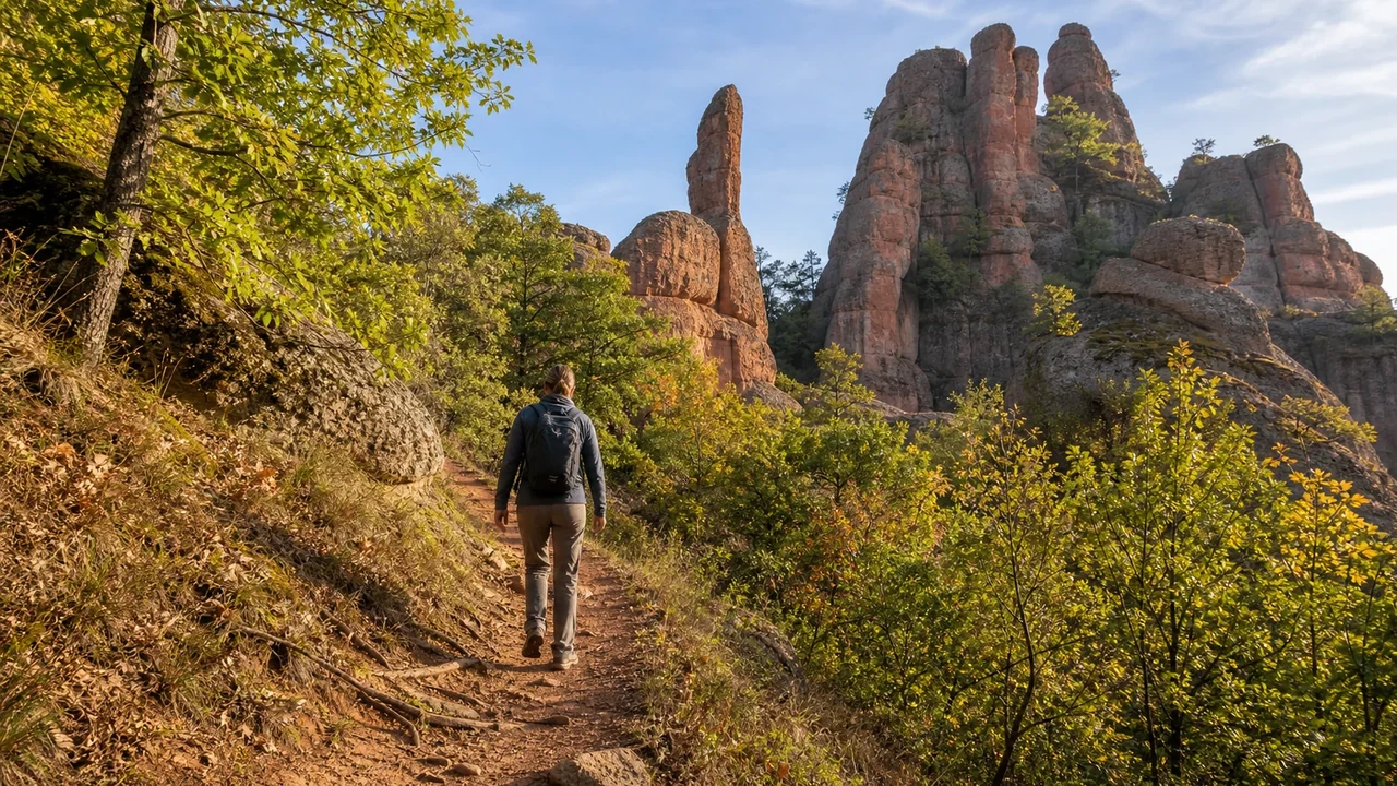
Belogradchik Rocks aren't a single ridge. They're a scattered forest of red sandstone pillars, each with its own name and shape. Local descriptions label many formations after what they resemble, including pillars known as the Madonna and the Monks, both visible from trails near the fortress. Underfoot, the trails alternate between packed dirt, exposed rock slabs, and short stretches of stone stairs on the fortress approach. None of it is technical climbing, but footing changes often enough that trekking poles help on the steeper descents. Elevation gain stays modest compared with mountain hiking elsewhere in Bulgaria; the payoff here comes from the rock formations themselves rather than long climbs.
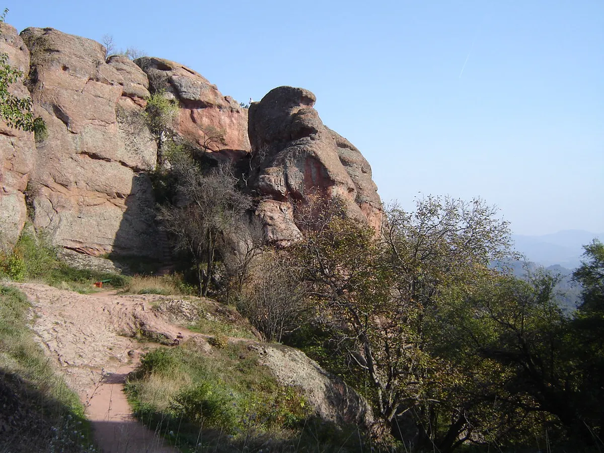
- The Madonna: a named rock pillar visible from trails near the fortress, often used as a landmark for orientation.
- The Monks: another named formation in the same cluster, frequently mentioned alongside the Madonna in local descriptions.
- Underfoot conditions: packed dirt on the gentler paths, exposed rock slabs on the ridges, and stone stairs on the fortress approach.
Planning Your Hiking Itinerary
Hiking plans generally fall into two shapes: a short express loop or a longer full-day route. Pick based on how much time you want left for the fortress, the town, or a side trip to the caves. Neither plan requires a car once you're in town, since every trailhead connects back to the square on foot.
In June-August conditions, the express route's about three hours demands an early start, since exposed ridge trails carry no shade and heat builds through midday.
- Express hike (about three hours): pairs the Fortress Loop with the nearest rock clusters, then returns to town for lunch. Fits well into a one-day itinerary or a day trip from Sofia when a return bus or train sets a hard deadline.
- Full-day explorer (roughly 9 miles, about 15km, or more): links the Nature School Eco-Path, Lepenitsa Cave Trail, and Borov Kamak Loop into one longer route. Start early, since the combined climbs and exposed ridge sections take time.
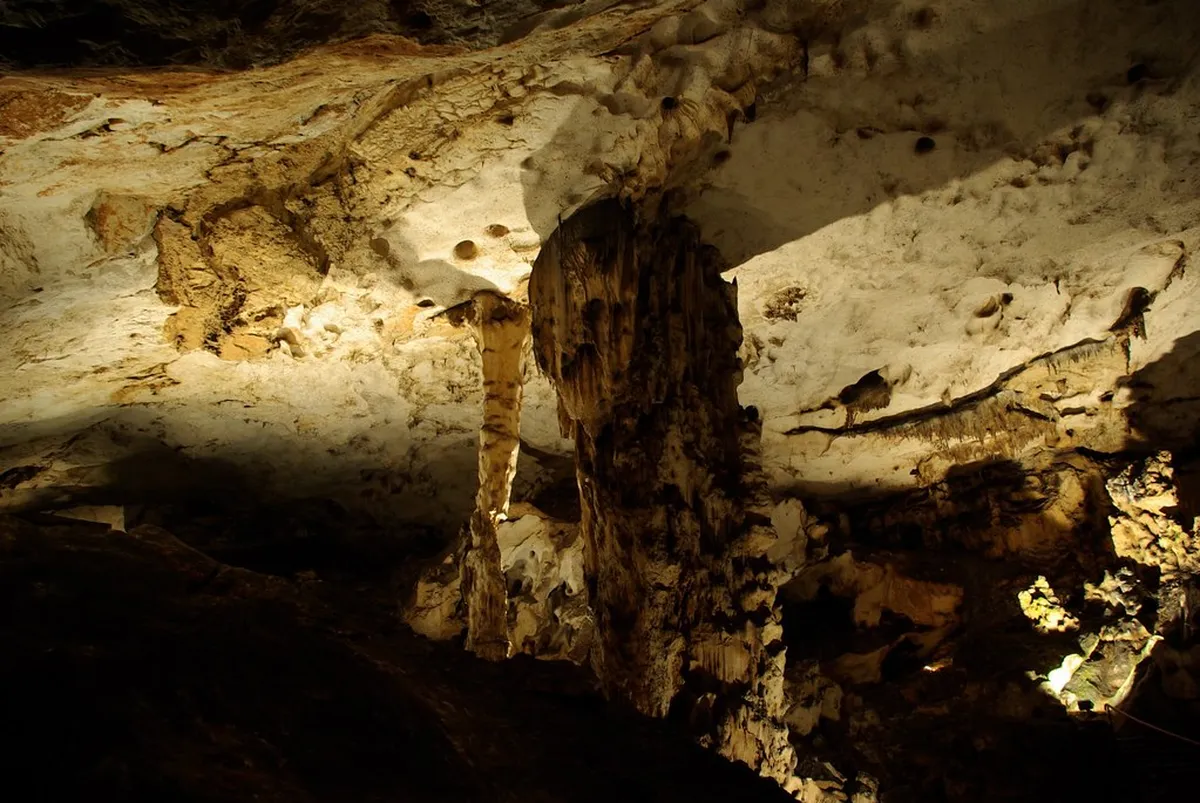
- Combine with sightseeing: finish hiking by early afternoon. Then arrange transport to Magura Cave for a separate underground tour, or fill a rest day with other things to do nearby.
- Fortress-only visitors: if trails aren't the priority, the fortress alone still covers most of the postcard views in under two hours, leaving the rest of the day free.
Seasonal Considerations and Safety
Weather changes trail difficulty more than distance does around Belogradchik. Match footwear and start time to the season rather than to a single route. Rock forest sections offer little shade, so temperature and sun exposure matter more here than on a forested trail elsewhere. None of these swings are extreme, but they add up over a multi-hour full-day route.
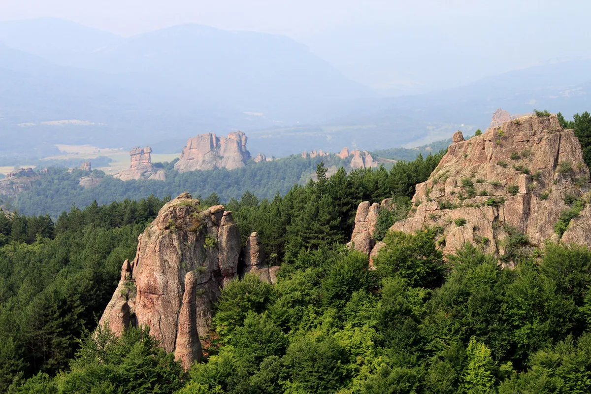
- Summer (June-August): start hiking by mid-morning at the latest, since ridge trails around the rock spires carry no shade.
- Spring and autumn: cooler air and clearer visibility make these seasons better for photography and longer routes. See the best time to visit for month-by-month detail.
- Wet weather: red sandstone turns slick after rain, and smooth-soled sneakers lose grip fast on the descents.
- Footwear: trail shoes or boots with textured rubber soles handle the rock better than casual sneakers or sandals.
- Wind and exposure: open ridges above the rock spires catch more wind than the sheltered streets in town, so pack a layer even in warmer months.
- Daylight: sunrise and sunset shift across the year, so check local daylight hours before planning a full-day route.
What to Pack for a Belogradchik Hike
A short packing list covers most of what the trails ask for, since none of the routes pass facilities once you leave town.
The rock forest provides no water refills along any route, so a full-day explorer covering about 15km must carry significantly more water than for a shorter morning outing.
- Water: enough for the full loop you're planning, since the rock forest has no refill points.
- Sun protection: hat and sunscreen for the exposed ridge sections, even on cooler days.
- Trail shoes or boots: grippy soles matter more than trail-running style on the smooth, weathered sandstone.
- Offline map or app: Maps.me or Wikiloc, downloaded before you lose signal in the rock forest.
- Cash: for the fortress entry ticket, in case card payment isn't available at the gate.
- Snacks: no cafés or kiosks sit along the trails themselves, only back in town.
- First-aid basics: a small kit covers minor scrapes on uneven rock, since the trails have no on-site facilities.
Where to Base Yourself for Trail Access
Staying inside Belogradchik keeps every trailhead within walking distance, instead of adding a drive before the hike even starts. Compare in-town guesthouses and hotel options at where to stay in town. Pick a base near the square or the fortress gate, depending on which trail comes first. Basing yourself outside town adds drive time to every trailhead, which cuts into the early start summer hiking needs. A central base also makes it easier to start hiking right at sunrise, before the day's heat builds.
Walking or Driving Between Belogradchik Trailheads
Walking works best for the Fortress Loop and Nature School Eco-Path because both connect directly with central Belogradchik. Starting from the town square also avoids searching for parking near the Kaleto fortress gate.
A car becomes more useful for reaching the forest-edge approaches toward Lepenitsa Cave and Borov Kamak. Driving saves approach time, but parking areas may be informal and trail signs can be faded. Download the route before leaving town and confirm the correct starting point locally.
Do not plan to walk from Belogradchik to Magura Cave as an extension of a regular trail day. The cave lies outside town near Rabisha and requires separate road transport. A practical schedule combines a short morning fortress hike with an afternoon cave visit. Choose the full-day rock-forest loop instead if you want to remain on foot.
Frequently Asked Questions
Are the Belogradchik hiking trails dog-friendly?
Most trails welcome dogs on a leash without any issue. Stone stairs and ladders inside the fortress can be steep for some dogs, so plan around that section if needed. Smaller or older dogs may do better sticking to the Nature School Eco-Path instead.
Do you need a guide for hiking in Belogradchik?
Most routes are fine to hike self-guided with a downloaded map. Local knowledge still helps for less obvious spots, like finding the Lepenitsa Cave opening or the Latin Fortress path. If backcountry navigation isn't your strength, stick to the marked eco-paths and the fortress trails instead.
Is there an entry fee for the Belogradchik hiking trails?
Rock trails and eco-paths themselves are free to walk. Only the fortress interior charges an entry ticket, and the current price is best confirmed at the gate or through the local municipality. Trails outside the fortress walls, including the Latin Fortress route, don't require any ticket at all.
How difficult are the Belogradchik hiking trails?
Routes generally rank easy to moderate, without technical climbing involved. Steepest sections are the fortress stairs and the climb toward Lepenitsa Cave, where footing gets uneven. Basic fitness and sturdy shoes cover most of what the trail network asks of hikers.
What should you pack for a day of hiking near Belogradchik?
Bring more water than you think you need, since the rock forest has no refill points along the way. Sun protection and trail shoes with grippy soles matter more than technical gear here. A light layer also helps on the exposed, windier ridge sections.
Which trail suits families or first-time visitors?
The Fortress Loop and the Nature School Eco-Path both stay short and gentle enough for most fitness levels. Either one pairs easily with a half-day plan if hiking is only part of the visit. Both also start from central points in town, so there's no long approach walk first.
Can you combine a Belogradchik hike with a Magura Cave visit in one day?
It's possible if you start hiking early and keep to the express route. Many visitors pair a morning hike with an afternoon Magura Cave tour, especially those already following a day trip from Sofia. Building in a buffer between the two helps, since transport and tour timing aren't within a hiker's control.
Are there restrooms or facilities along the trails?
No, facilities sit back in town near the square, not along the rock trails themselves. Plan bathroom stops and water refills before you set out, since none of the routes pass a café or kiosk.