Pamporovo Piste Map Guide: Hubs, Runs, and Lift Layout
Last updated July 2026, this pamporovo piste map guide breaks down how the resort's runs, lifts, and three base hubs connect around Snezhanka Peak. Every piste at Pamporovo effectively radiates from one 1,937m summit, so once you can place that peak on the map the rest of the layout follows. This guide walks through the hub system, run difficulty by slope, lift hours, and the shuttle link to the Mechi Chal ski area near Chepelare.
How to Read the Pamporovo Piste Map
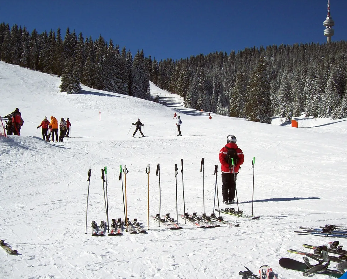
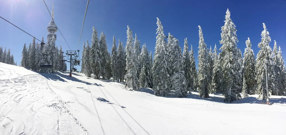
Pamporovo's ski area covers about 25km of alpine pistes and roughly 38km of cross-country tracks. Base elevation sits at 1,620m, climbing to 1,937m at Snezhanka Peak, marked by a TV tower. Nearly every run on the pamporovo piste map starts at or near that summit. That makes orientation simpler than in larger Alpine resorts spread across several valleys. Fourteen lifts in total, split between chairlifts and drag lifts, move skiers back up toward the peak from each hub. For background on the resort beyond the slopes, see the Pamporovo Ski Resort: The Ultimate 2026 Guide. A broader roundup of activities sits in Things to Do in Pamporovo, Bulgaria: Complete 2026 Guide. Conditions change through the season, so check the Pamporovo Snow Report: Current Conditions, Snow Depths & Best Time to Ski before you commit to a route.
- Alpine pistes: about 25km
- Cross-country tracks: roughly 38km
- Base elevation: 1,620m
- High point: Snezhanka Peak at 1,937m
- Total lifts: 14 (5 chairlifts, 9 drag lifts)
The Hub System: Studenetz, Malina, and Stoykite
Three hubs anchor the pamporovo piste map, and each suits a different kind of day. Studenetz sits at the center of the resort, and most pistes funnel back to it, so it works well if your hotel is central. Malina holds the resort's largest parking areas and its ski schools, making it the practical base for lessons. Ski hire and instruction both run from there, covered in the ski hire and lessons guide. Families splitting a day between lessons and easier runs can plan around Malina and Studenetz using the Pamporovo for families guide. Stoykite is the quieter side of the mountain, reached by a modern six-person lift, with longer blue and red runs than the central area sees. Fewer day-trippers pass through Stoykite, which keeps its runs less crowded on busy weeks.
Beginner and Intermediate Runs on the Piste Map
Beginners generally start on the nursery slopes at Malina before moving up through the ski school's graded groups. Slope 6, known as the Tourist run, is the longest piste in the resort at about 5.1km, dropping roughly 476m back toward the base. It stays gentle enough for early progression, though flatter sections can require poling, especially for snowboarders losing momentum. Slope 1, nicknamed the Small Wall, is steeper than the Stoykite runs but shorter, and it's a different piste from The Wall covered below. Slope 11, known as Kartola, gives early intermediates a shorter, gentler option away from Stoykite. Intermediates get the most mileage at Stoykite, where Slopes 12 and 12A run long and wide for carving practice. Lesson structure gets more depth in the Pamporovo skiing for beginners guide. Wider progression tips sit in the Bulgaria skiing for beginners guide.
The 3.6km runs at Stoykite suit carving practice, but The Wall near the peak earns the resort's most difficult reputation and surprises confident intermediates more than any other run.
| Run | Difficulty | Length | Notes |
|---|---|---|---|
| Slope 6 (Tourist) | Easy | ~5.1km | Longest run, ends near the base |
| Slope 12 (Stoykite 1) | Intermediate | ~3.6km | Stoykite hub, six-person lift access |
| Slope 12A (Stoykite 2) | Intermediate | ~3.7km | Runs alongside Slope 12 |
| Slope 11 (Kartola) | Intermediate | ~0.7km | Shorter option away from Stoykite |
| Slope 1 (Yazovira / Small Wall) | Intermediate | ~1.0km | Steeper, shorter; distinct from The Wall |
The Wall and Other Advanced Terrain Near Snezhanka Peak
Slope 2, officially named The Wall, has the resort's toughest reputation, and it catches confident intermediates off guard more often than any other run. A drag lift from the middle station serves it directly, and the pitch is steep enough that guides commonly flag it as the resort's hardest piste. Slope 4, called Snejanka, adds a second difficult run near the peak, shorter at about 1.06km but with a similarly sharp drop. Slope 3, named for architect Petar Petrov and used for European Cup racing, gives strong skiers a third technical option close to Snezhanka Peak. None of these three carry an official color rating that matches Western Europe's system exactly. Local staff advice is the more reliable read of the day's conditions.
- The Wall (Slope 2): steepest run, reached by drag lift from the middle station
- Snejanka (Slope 4): about 1.06km, sharp drop near the peak
- European Cup (Slope 3): technical race-style piste near Snezhanka Peak
Cross-Country Tracks Toward Smolyan Lakes
Roughly 38km of cross-country tracks branch off the main alpine network, spread across several marked loops. Several routes head toward the Smolyan Lakes. These tracks use gentler grades than the alpine pistes, so they suit a rest day or a change of pace mid-week. Bulgaria's Rhodope Mountains give the trails a forested, rolling character rather than the open bowls seen on the main peak. Once the snow clears, several of these paths reopen as summer trails. Some of the same terrain reappears in the mountain biking in Pamporovo guide. Hikers can find route options for the warmer months in the Pamporovo hiking and nature guide. Summer brings a broader shift in what's open, covered in the Pamporovo in summer guide.
Lift System, Hours, and Night Skiing
Pamporovo runs 5 chairlifts and 9 drag lifts, with combined capacity of about 8,600 people per hour. Standard lift hours run 08:30 to 16:30. Malina's ski kindergarten stays open slightly later, until 17:00. Night skiing lights a run near the base most weeks, typically from 18:30 to 21:30. Après-ski picks up once lifts close. It's detailed in the Pamporovo nightlife and après-ski guide. Hours and which lifts run can shift with weather and staffing, so confirm the day's schedule locally.
Night skiing typically runs 18:30 to 21:30, but standard lifts close at 16:30, creating a 2-hour gap—plan any evening skiing separately and confirm your accommodation hub in advance to avoid ending your ski day at the wrong base.
- Chairlifts: 5
- Drag lifts: 9
- Combined capacity: about 8,600 people per hour
- Standard hours: 08:30-16:30
- Night skiing: typically 18:30-21:30
Connecting to Mechi Chal (Chepelare) by Shuttle
Mechi Chal, the ski area above Chepelare, links to Pamporovo through a combined 2-in-1 lift pass rather than a shared piste. A shuttle bus carries skiers between the two areas. Locate the connection points on the map before you set out, since the pistes themselves do not join up. Confirm current shuttle times and pass terms directly, since schedules shift by season. What a combined pass currently includes is covered in the Pamporovo lift pass prices guide. Chepelare sits within reach for a single-day add-on rather than a full change of base, so plan it as a variation on a normal ski day.
Safety Points and Avoiding the Wrong-Base Mistake
Mountain rescue, known locally as PSS, covers the resort 24 hours a day. Medical points are marked on the map at both Studenetz and Malina. Malina holds the ski kindergarten too, alongside the nursery slopes and main lesson meeting points. A common planning mistake is finishing the day at the wrong hub, for example riding down into Stoykite when your hotel sits near Studenetz. Check Where to Stay in Pamporovo 2026: Best Areas & Hotels against the hub map before you commit to a route back. Weather can also change which runs make sense on a given day, so cross-check the weather and best time to visit guide that morning. Evenings often mean a short transfer back into town for dinner. Dinner options near each hub appear in the Pamporovo restaurants guide. On a rest day, the Smolyan Lakes area doubles as both a cross-country destination and a wider excursion, covered in Day Trips from Pamporovo 2026: Smolyan, Caves & Rhodope Highlights.
- Finishing at the wrong hub (e.g., Stoykite instead of Studenetz) when your hotel is central
- Underestimating flat sections on green runs, which can strand snowboarders without poling
- Skipping a same-day weather check before committing to peak-adjacent runs
Where to Find the Official Pamporovo Piste Map
Use the winter map on Pamporovo’s official resort website for the latest piste and lift status. The interactive version identifies Snezhanka Peak, Studenetz, Malina, Stoykite, medical points, and the main lift lines.
Download the high-resolution printable map before leaving reliable internet coverage. Keep a copy on your phone and photograph the large boards at your starting hub. Printed maps are also usually available near lift-pass offices and ski-school meeting points.
Check the map’s publication date because third-party Bulgaria ski maps may show older lift names or omit operational changes. Pamporovo and Mechi Chal are separate ski areas, so no piste links them. Use the Mechi Chal map alongside current shuttle information when planning a combined-pass day.
Before your final descent, match the piste endpoint with your transport or accommodation. Runs finishing at Stoykite, Malina, and Studenetz do not leave you at the same base. Mark your intended return lift and an earlier alternative in case wind or weather causes closures.
For trip-planning details, see Pamporovo travel guide - Wikivoyage and Pamporovo - Wikipedia.
Frequently Asked Questions
What's the highest point on the Pamporovo piste map?
Snezhanka Peak is the highest point, at 1,937m, marked by the TV tower most runs radiate from.
Which run is the longest, and how difficult is it?
Slope 6, the Tourist run, is the longest at about 5.1km. It's rated easy and drops roughly 476m back toward the base area.
Is The Wall (Slope 2) suitable for intermediate skiers?
Treat it with caution. Local guidance generally calls it the resort's hardest run, and it catches confident intermediates off guard more than any other piste.
How do you get from Pamporovo to the Mechi Chal ski area?
A shuttle bus connects the two areas, and a combined 2-in-1 lift pass covers both. Confirm current shuttle times locally, since they shift by season.
Which hub is best for beginners or families?
Malina. It holds the ski school, the nursery slopes, and the largest parking areas, making it the easiest base for lessons.
How do you get to Pamporovo from the nearest cities?
Flight options are covered in the nearest airport to Pamporovo guide. Sofia to Pamporovo: How to Get There in 2026 details the road transfer from the capital. Plovdiv to Pamporovo: Transfer & Travel Guide covers the shorter route from Plovdiv.
How does Pamporovo's piste map compare with Borovets?
Piste variety and layout differ enough to matter for trip planning. How the two resorts stack up is broken down in the Pamporovo versus Borovets comparison.