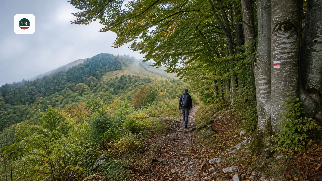
Hiking Near Tryavna
Last updated August 2026, hiking near Tryavna means choosing between five marked trails within a short walk or drive of the town center. Routes range from a 30-minute climb to Bazovets peak to a 2-hour trek that tops out at 779m on Cherni vrah. This guide compares the routes side by side, then covers trailhead access, cave safety, and where to base yourself in town.
Best Hiking Routes Near Tryavna, at a Glance
Five marked trails start either at Tryavna's Clock Tower in the town center or at Bazovets railway station outside it. Durations range from a 30-minute walk to a two-hour climb, and elevation on these routes tops out between 638m and 779m (about 2,093-2,556 ft) depending on which one you pick. Markings run green, blue, and yellow, so note the color before you set out. Use the comparison table below to match a route to the time you have. For the wider Stara Planina picture beyond Tryavna, cross-reference Bulgaria's wider mountain-trail guide. The criteria below help you decide quickly if you'd rather not read every section first.
| Route | Start Point | Marking | Duration | Highest Point | Best For |
|---|---|---|---|---|---|
| Tryavna to Cherni vrah | Clock Tower, via Zelenika and Velentsi | Green | About 2 hours | 779m (about 2,556 ft) | Easy pace, any age, longest views |
| Tryavna to Bozhentsi (ridge route) | Clock Tower, via Brashlyan hotel | Blue | About 2 hours | 732m (about 2,402 ft) | Families, broadleaf forest |
| Tryavna to Bozhentsi (via Zmeeva dupka) | Clock Tower, via Brashlyan hotel and Genchevtsi | Yellow | About 2 hours | 638m (about 2,093 ft) | Confident hikers skipping the cave |
| Bazovets station to Bazovets peak | Bazovets railway station | Green | About 30 minutes | Not published | Shortest option, shelter at the summit |
| Bazovets station to Krastets | Bazovets railway station | Green | About 1.5 hours | Not published | Families, two trailside chapels |
- Choose the Bazovets peak route if you have 30 minutes and want a shelter at the summit.
- Choose the Krastets route if you're traveling with children and want chapel shelters with a playground along the way.
- Choose Cherni vrah if you have a half day and want the highest point on this list at 779m.
- Choose the Bozhentsi ridge route, blue marking, if you want the most family-friendly option through broadleaf forest.
- Skip the Zmeeva dupka detour on the yellow-marked Bozhentsi route if you're inexperienced or hiking with young children; the cave itself is flagged as risky to enter.
Getting to the Trailheads: Town Center or Bazovets Station
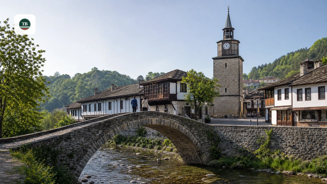
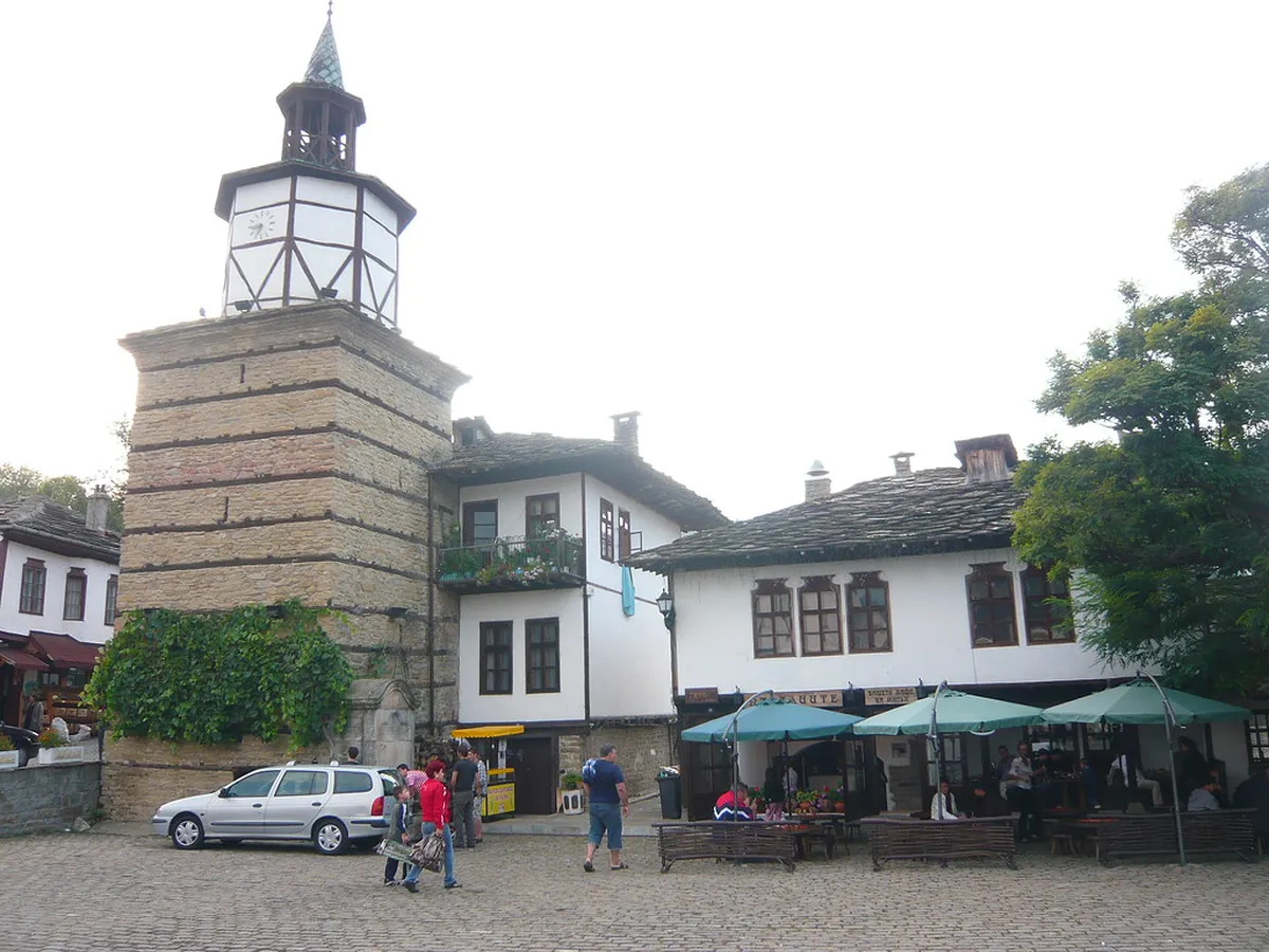
Tryavna's town-center routes start at the Clock Tower, so no transport is required if you're staying in the old town. Three of the five routes, the two Bozhentsi options and the Cherni vrah climb, begin from this exact point. The other two routes start at Bazovets railway station, a short drive from the center. Confirm current rail timetables locally if you'd rather reach Bazovets by train than by car. Drivers touring more of the country can fold a Bazovets stop into a wider loop. See Bulgaria road-trip route planning for how a Tryavna stop fits alongside other stops.
Easy and Family-Friendly Routes (30 Minutes to 1.5 Hours)
Two green-marked routes start at Bazovets railway station and suit hikers with limited time or young kids in tow. The shorter option climbs past Malak and Golyam chukar peaks to Bazovets peak and the Stenata area in about 30 minutes. The longer option reaches Krastets in roughly 1.5 hours, passing two trailside chapels that both have rest shelters. Both trailheads sit outside the town center, so plan transport to Bazovets railway station before you start either one.
The Bazovets peak route takes about 30 minutes with shelter at the summit, but unlike three routes starting from the town-center Clock Tower, it requires transport to Bazovets railway station—confirm in advance whether you'll drive or catch the train.
- Bazovets peak and Stenata area - green marking, about 30 minutes, past Malak and Golyam chukar peaks. Shelter with a fireplace at the summit; benches and a small shelter at the chukar peaks.
- Krastets - green marking, about 1.5 hours, past the St. Sofia, Vyara, Nadezhda i Lyubov chapel (shelter, fireplace, playground) and St. Ivan Rilski chapel, near the Tsarski Kladenets area.
Half-Day Routes to Bozhentsi and Cherni Vrah (About 2 Hours)
Bozhentsi is an architecture-historical reservation, and either the blue or yellow route from the Clock Tower gets you there in about 2 hours. Blue-marked hikers stay on the ridge through broadleaf forest, the more family-friendly of the two options. Yellow-marked hikers pass closer to Zmeeva dupka cave, so weigh the safety notes below before choosing it. Pair either hike with heritage viewing; the Tryavna museums guide covers indoor stops for a slower afternoon. Both Bozhentsi routes also work as a full day trip from town. The day-trip options from Tryavna guide covers how to return by road instead of retracing the trail.
- Cherni vrah - green marking, about 2 hours, highest point 779m (about 2,556 ft), via the villages of Zelenika and Velentsi; easy and suitable for any age.
- Bozhentsi ridge route - blue marking, about 2 hours, highest point 732m (about 2,402 ft), via Brashlyan hotel; a family-friendly walk through broadleaf forest.
- Bozhentsi via Zmeeva dupka - yellow marking, about 2 hours, highest point 638m (about 2,093 ft), via Brashlyan hotel, the village of Genchevtsi, and the Propastite area.
Balgarka Natural Park: Why It Shapes Every Trail Choice
Balgarka Natural Park covers the forested slopes these hikes wind through, linking several of the marked routes with the same broadleaf and mixed woodland. Official park figures put the total protected area at 22,022.12 ha (about 54,400 acres), spread across the Tryavna and Gabrovo municipalities. Within that footprint sit smaller protected micro-areas and natural landmarks, several named for specific rock formations or old-growth stands. That forest mix explains why the Bozhentsi and Cherni vrah routes pass through beech, oak, and hornbeam stands rather than open ridgeline for most of their distance. According to Tryavna's official hiking-trails overview, the same terrain shelters roe deer and a range of woodland birds, so quiet walking pays off. The park also protects smaller sites such as Vikanata skala, a 0.5 ha (about 1.2 acre) rock-formation area named on Tryavna's own trail page.
- Studeniya kladenets protected area - 64.3 ha (about 159 acres)
- Mahchenitsa-Yovovtsi protected area - 63.7 ha (about 157 acres)
- Tisovo nahodishte, a yew-tree natural landmark - 0.6 ha (about 1.5 acres)
- Centenarian beechwood - natural landmark status, size not published
Safety and Seasonal Notes: Caves, Markings, and Elevation
Two caves sit near the Bozhentsi routes: Zmeeva dupka and Komincheto. Local trail guidance flags both as risky to enter and advises against going in without real caution, a warning this guide keeps rather than softens. Skip the cave detour entirely if you're hiking with children or have no caving experience. This caution matches the guidance in the route comparison above, so treat it as a planning input rather than an afterthought. Elevation on these five routes tops out between 638m and 779m (about 2,093-2,556 ft), low enough that snow rarely blocks a summer visit. Conditions can still turn quickly at any elevation in the Stara Planina, so pack layers even on a warm morning in town. Confirm current trail markings and weather with the Tourist Info Center before setting out outside the warmer months.
With highs between 638m and 779m across all routes, the low elevation keeps snow rare, and the modest difference between Bozhentsi's blue ridge (732m) and its yellow Zmeeva dupka path (638m) means skipping the flagged cave costs minimal altitude.
Where to Stay and How to Combine Hiking with Tryavna Town
Base yourself near the Clock Tower in the town center, since four of the five routes start there on foot. Spend the rest of the day in the old town's craft streets and workshop buildings; the Tryavna old town walking route covers those stops block by block. A hiking day pairs easily with a museum stop if you'd rather split the afternoon. Cross-check current logistics on Tryavna's official tourism portal before you travel. Tryavna also fits into wider trip planning beyond a single hiking day. Compare it against other stops on the top Bulgaria destinations list before building a longer itinerary around the Stara Planina.
Practical Essentials and Mistakes to Avoid
Hiking is one of several ways to spend time in Tryavna; the wider Tryavna activity guide shows how a trail day fits alongside old-town sightseeing. Contact the Tourist Info Center directly if a route's marking or condition needs confirming close to your travel dates. None of the five routes pass a café or shop, so carry water and wear sturdy footwear before setting out. Don't mistake Bikemap's cycling-route listings for hiking data; that platform's 102 catalogued routes around Tryavna are built for cyclists, not walkers, and cover different ground.
- Tourist Info Center - 33 Angel Kanchev Str., Tryavna; phone +359 677 62247.
- Trail colors - green, blue, and yellow markings correspond to different routes; confirm current signage before you start.
- Water and footwear - none of the five routes pass a café or shop along the way.
- Cycling vs. hiking - Bikemap's Tryavna listings cover cycling routes, not the hiking trails in this guide.
- Cave detour - treat Zmeeva dupka and Komincheto as a skip unless you have caving experience and confirm current access locally.
Frequently Asked Questions
How long does it take to hike from Tryavna to Bozhentsi?
Both marked routes to Bozhentsi take about 2 hours from the Clock Tower. The blue-marked ridge route tops out at 732m (about 2,402 ft), and the yellow-marked route via Zmeeva dupka tops out at 638m (about 2,093 ft).
Is hiking near Tryavna suitable for beginners or families?
Several routes suit beginners and families, including the blue-marked Bozhentsi ridge route and the Krastets route with its chapel shelters and playground. Skip the Zmeeva dupka cave detour if you're new to hiking or traveling with young children.
What is the highest elevation on Tryavna-area hiking trails?
Cherni vrah is the highest point among these five routes at 779m (about 2,556 ft). The lowest tops out at 638m (about 2,093 ft), on the Bozhentsi route via Zmeeva dupka.
Do you need a car to reach Tryavna trailheads?
No car is needed for the three routes starting at the Clock Tower in the town center. Reaching the Bazovets railway station trailhead is easier by car; confirm current rail timetables locally if you'd rather go by train.
Are the caves near Tryavna safe to visit while hiking?
Local trail guidance flags Zmeeva dupka and Komincheto as risky and advises against entering without real caution. Treat both as a detour to skip rather than a stop to add casually.
What is the best time of year to hike near Tryavna?
These routes stay under 800m (about 2,600 ft), so they're typically walkable from spring through autumn. Confirm current trail and weather conditions with the Tourist Info Center before a winter visit.
What amenities are along the Tryavna hiking trails?
Trailside shelters appear at several stops, including a fireplace shelter at Bazovets peak and chapel shelters with a playground near Krastets. Pack water and food in advance, since none of the trailheads has a shop nearby.